There is a pattern we keep seeing when a magazine, a tourism board, or a search bar hands out the title "surf capital of the world." The nomination always arrives as if it were a ranking — a scoreboard of towns, points awarded for consistency, culture, and crowd. But every time we open the coastline files behind one of these claims and trace the shape of the shore, the ranking dissolves back into geography. The question stops being which town wins and becomes which coastline is doing the work. From the studio desk, that is a far more interesting map.
The Pattern In How The Title Gets Awarded
Every list we have read uses the same quiet trick. It picks a town, assigns it a crown, and treats the geography around that town as scenery rather than cause. The town does the talking. The coast is reduced to a backdrop that happens to produce waves. We have seen Honolulu claim the title, then Huntington Beach claim it back, then a half-dozen European contenders push forward with their own versions, each dressed up as a verdict rather than a reading.
The reason the title moves around so freely is that nothing anchors it. There is no agreed metric. One list weights contest history. Another weights wave consistency. A third quietly weights how many surf shops line the main street. Each of these can be defended, but none of them touches the question an atlas would ask first, which is what the shoreline is doing to the swell before any of this human activity shows up.
Open the OpenStreetMap coastline for the four European entries that reliably appear on these shortlists — Biarritz on the French Basque coast at the top of the Bay of Biscay, Ericeira facing west on Portugal's Estremadura headland, Hossegor just north of the Spanish border on France's Landes coast, and El Cotillo on the exposed west side of Fuerteventura — and the first thing you notice is that they do not resemble each other. One is a crescent of sand under a cliffed town. One is a stacked set of reefs along a basalt headland. One is kilometres of straight open beach backed by pine forest and interrupted by submarine canyons. One is a desert island facing nothing but Atlantic for thousands of nautical miles.
If the title were a real ranking, these four would not all be plausible winners. They are plausible winners because the title is actually asking four different questions at once, and each coastline happens to answer a different one. The scoreboard is really a sorting problem that has been pretending to be a competition.
The Pattern In What The Coastline Is Actually Doing
Once the ranking frame falls away, the useful question becomes mechanical. What is the coastline doing to the energy that arrives at it. We draw coasts for a living, which means we spend most of our time looking at how a shoreline receives, bends, and spends swell. Four distinct patterns keep repeating across the European contenders, and once you learn to read them, the title stops feeling like an opinion.
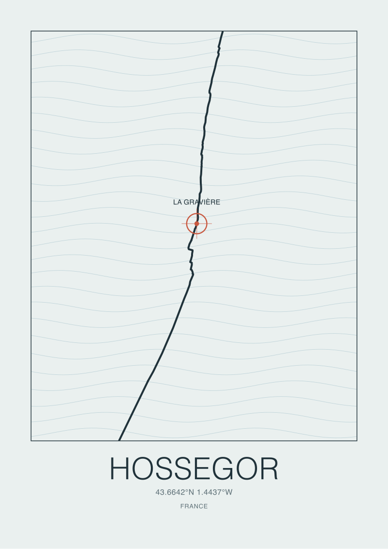
The first pattern is the open beach that lives above hidden depth. Hossegor sits on a stretch of the Landes coast where submarine trenches cut toward the shore and let deep-water swell arrive almost without warning. The town itself, at roughly 43.67 N and 1.44 W, is a quiet pine-and-dune settlement. The reason La Gravière carries the reputation it does is not the town's character but the bathymetry just offshore. The trenches funnel energy, the sandbars translate that energy into a short, violent face, and the beach break becomes a different animal than the long, soft rollers found on open coasts without that submarine help.
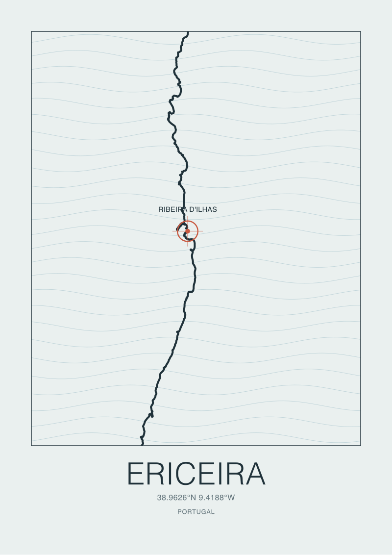
The second pattern is the reef-stacked headland. Ericeira, at roughly 38.99 N and 9.42 W, protrudes from the Portuguese coast as a basalt shelf. Ribeira d'Ilhas and its neighbours are not accidents of a lucky beach — they are the output of a coastline that offers multiple rock reefs at different angles, each catching swell differently. When Portugal designated a World Surfing Reserve here, the designation was recognising geography, not ambience. The reefs will keep working whether or not the designation stands.
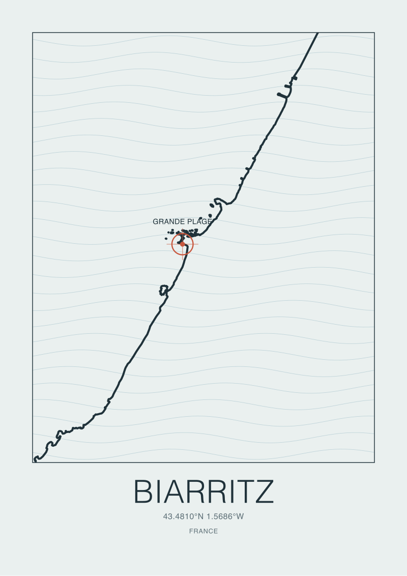
The third pattern is the long crescent inside a continental corner. Biarritz, at roughly 43.49 N and 1.56 W, sits where the Bay of Biscay bends into the Pyrenees. Grande Plage receives swell that has already been shaped by that curve of coast — refracted, slowed on the shelf, cleaned on arrival. It is a forgiving geometry, which is why the town could become the European starting point for a cultural scene before any contest circuit existed to confirm it.
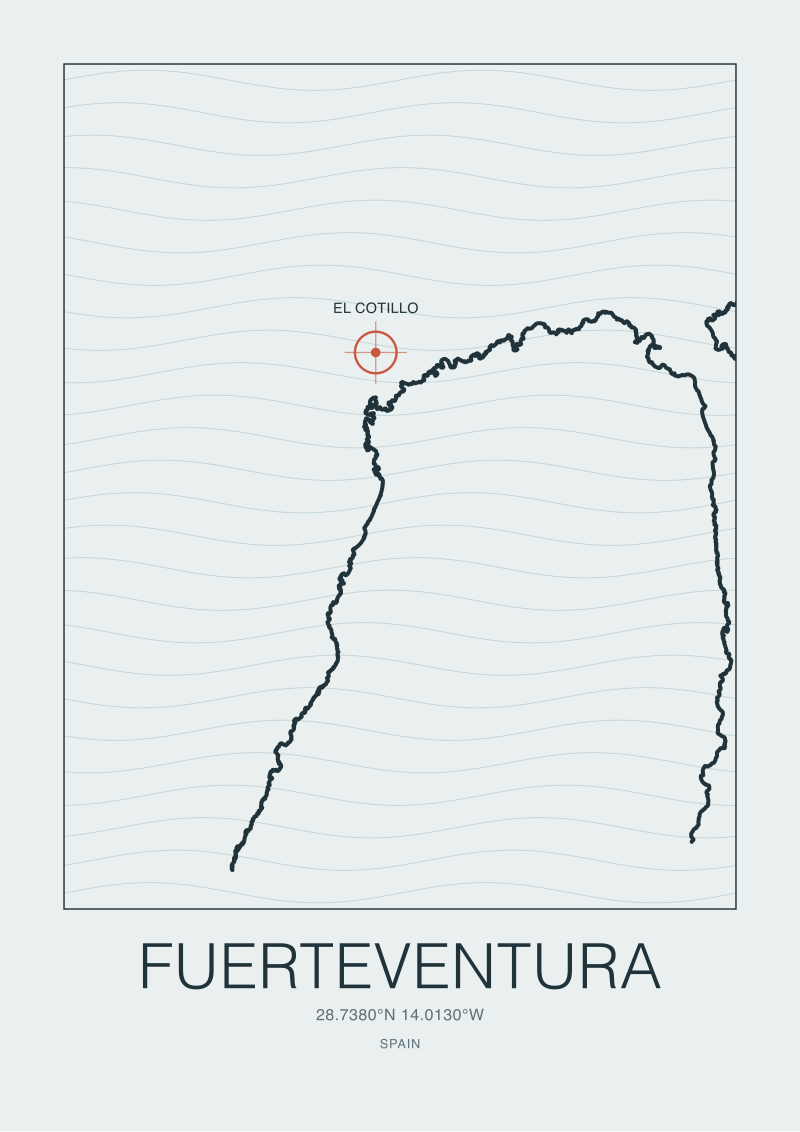
The fourth pattern is the fully exposed oceanic flank. Fuerteventura's west side, with El Cotillo near 28.67 N and 14.01 W, faces open Atlantic with no landmass between it and North America. The island's volcanic shoreline alternates between reef and sand with almost no human infill. The coast is doing the simplest, oldest version of the job — standing in the way of a huge fetch and letting whatever arrives arrive.
Four coasts, four mechanisms. The ranking framing collapses the moment you ask which of these mechanisms a reader actually wants.
The surf capital of the world is not a town winning an argument; it is a coastline doing a job, and there are at least four jobs to choose from.
 Hossegor
The print from this article · from €29.95
View the print →
The Pattern In How Towns Inherit The Shoreline
Once the mechanism is clear, the next pattern becomes legible, which is that the towns we call surf capitals almost never built the thing they are famous for. They inherited it. The scoreboard narrative likes to credit a town's "scene" — the shapers, the schools, the contests, the cafés — as if the scene produced the waves. The map says the sequence runs the other way.
Biarritz was a thermal resort for European nobility before Peter Viertel and a Hollywood crew carried boards onto Grande Plage in 1957 and introduced the sport to the French coast. That date is cited often, sometimes exactly, sometimes within a season. What matters for the pattern is that the town did not design itself for surf. The curve of the Basque coastline was already doing its work; a cultural moment finally recognised what the shoreline had been offering. Everything the town is credited for today — the schools, the industry, the identity — grew in that order. Geography first, culture second.
Ericeira repeats the sequence with a different accent. A fishing village on a basalt headland was going to stay a fishing village until the surfing world noticed that the reefs along a few kilometres of its coast behaved like a staircase of distinct waves. The World Surfing Reserve designation around Ribeira d'Ilhas did not create those reefs; it drew a legal fence around a stretch of geology that was already the point. The town has grown into its reputation, but the reputation sits on the rock.
Hossegor is the clearest case because its town centre predates its surf identity by decades. It was a dune-and-pine resort for inland French families long before the submarine trenches off its beach became famous. The industry that eventually clustered around Hossegor — the brands, the warehouses, the trade events — chose the town because of what the bathymetry does, not the other way around. Walk the inland streets and you can still see the resort town the geography was quietly subsidising.
El Cotillo on Fuerteventura inverts the pattern most honestly. It never became a capital of anything. It is a small coastal settlement on an exposed Atlantic flank, and the shoreline carries almost all of the identity by itself. If you were asked to name a surf capital on the strength of raw coastal exposure, El Cotillo would be a serious entry; the fact that it rarely appears on the lists is a reminder that the lists are measuring something other than coastline work.
The pattern across the four is the same. Towns do not generate the title. They are given it, retroactively, by whatever the shoreline was already doing before anyone wrote the first guidebook.
So What Do You Actually Do
If you have come to the question wanting a single verdict, we would gently redirect you. Pick the mechanism first. Decide whether you are drawn to the hidden-depth beach break, the stacked reef headland, the forgiving continental crescent, or the fully exposed oceanic flank. Each of these has a European answer that holds up on the map. Hossegor answers the first. Ericeira answers the second. Biarritz answers the third. Fuerteventura's west side answers the fourth. The question "surf capital of the world" is really four questions standing in a line, and the honest reader picks the one that matches what they actually want from a coast.
If you have come to the question wanting to understand a coastline you already love, we would say the same thing in reverse. Trace the shape of the shore before reading another ranking. Look for the trench, the reef shelf, the continental bend, or the open flank. The place-name on the map will almost always turn out to be the smaller fact. The geometry around it is the one that explains why the town exists at all, why anyone writes about it, and why the title keeps circling back no matter how often the magazines reshuffle their lists.
And if you want to carry one of these coasts home — not as a ranking but as a shape — a drawn coastline is the honest souvenir, which is why we draw them. Our shop catalogues the exact shorelines discussed here from the real OpenStreetMap coastline data, at the scale the geography deserves. The title "surf capital of the world" belongs on a shelf of debates. The coast belongs on the wall.
 Biarritz
The print from this article · from €29.95
View the print →
FAQ
Is there one objectively correct surf capital of the world?
No, and the question itself is the problem. The title has been given to Honolulu, Huntington Beach, Biarritz, Gold Coast towns, and several Portuguese headlands across different decades, each time with a different implicit metric — contest history, cultural first, wave consistency, industry footprint. Because no metric is agreed, every award is really an argument. A coastal cartography reading replaces the ranking question with a shape question, which produces a map rather than a verdict.
Why do European coasts keep showing up in these lists?
Because the eastern Atlantic rim offers an unusually dense sequence of distinct coastal mechanisms within a short north-south span. Biarritz sits in a continental bend, Hossegor sits above submarine trenches, Ericeira protrudes as a basalt reef shelf, and Fuerteventura exposes a volcanic flank to open ocean. Four different geometries, all facing the same Atlantic, all documented on OpenStreetMap coastline data. That geographic variety is why the European contenders cannot be ranked against each other cleanly.
What does Biarritz 1957 actually refer to?
It refers to the broadly recorded moment when boards were carried onto Grande Plage during a film production, usually credited to Peter Viertel and the circle around a Hemingway adaptation, after which surfing began to take root on the French Basque coast. The exact date varies slightly between accounts, so we treat it as a season rather than a day. What is uncontested is that it marks the European starting point for the sport as a sustained cultural practice rather than an isolated visit.
Why is Ericeira's World Surfing Reserve status significant?
Because the designation protects a stretch of coastline — a basalt headland near 38.99 N, 9.42 W — rather than a scene or an event. The reserve recognises that several distinct reefs along a short span of shore, including Ribeira d'Ilhas, behave as a connected geological system. Protecting the geography protects the surf. It is one of the few places where a legal framework was drawn around a coastal shape rather than around a town's cultural output.
Is Hossegor famous because of the town or the ocean floor?
Overwhelmingly the ocean floor. Hossegor sits near 43.67 N and 1.44 W on the French Landes coast, where submarine trenches reach close to shore and feed deep-water swell directly to the sandbars at La Gravière. The town itself was a dune-and-pine resort long before the surf industry arrived. The brands and events that cluster there today chose the location because of the bathymetry; the town inherited the identity, it did not generate it.
What makes Fuerteventura's west side different from mainland European coasts?
Pure exposure. The west flank of Fuerteventura, with spots such as El Cotillo near 28.67 N and 14.01 W, faces open Atlantic with no significant landmass intervening for thousands of nautical miles. Mainland European coasts receive swell that has already interacted with the continental shelf, nearby headlands, and bays. The Canary flank receives the raw version. That is a different coastal job and arguably deserves its own category rather than a shared ranking.
Does the "surf capital" title have any value at all?
Yes, as a conversation starter. It brings attention to coastlines that deserve attention and funnels readers toward places with genuine geographic character. The failure mode is treating it as a verdict rather than a prompt. Once you ask what the shoreline is doing — the trench, the reef, the bend, the exposure — the title becomes a doorway into the map rather than a scoreboard, and the map is where the actual information lives.
How should I use a coastline map to compare surf coasts honestly?
Start with the natural=coastline layer from OpenStreetMap or an equivalent cartographic source, and look at three things in order: the orientation of the shore relative to the dominant swell window, the presence of reefs or trenches close to the coast, and the degree of enclosure by headlands or bays. Those three readings separate a Hossegor from an Ericeira from a Biarritz more reliably than any list of towns, and they survive whichever ranking the magazines publish next.
New breaks and 10% off your first print.
One email now with your code. No noise after.