The Breaks
13 prints
Nazaré
Nazaré, Portugal. Home of the giant, where Atlantic swell meets an underwater canyon. The real coastline around Praia do Norte, at 39.6100, -9.0860. Coastline from OpenStreetMap; the swell lines are decorative, not a depth chart.
Ericeira
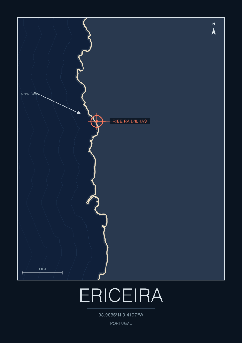
Ericeira, Portugal. Europe's only World Surfing Reserve, a coast of right-hand reefs. The real coastline around Ribeira d'Ilhas, at 38.9885, -9.4197. Coastline from OpenStreetMap; the swell lines are decorative, not a depth chart.
Peniche
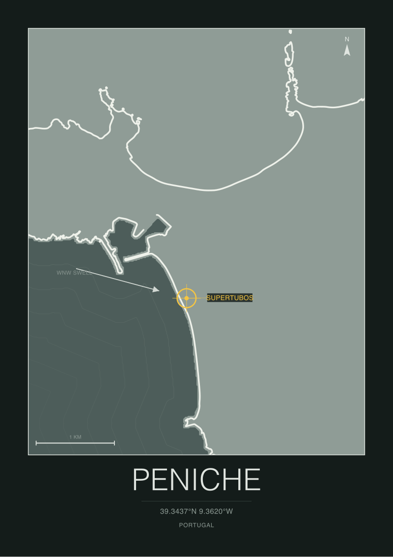
Peniche, Portugal. The Supertubos sandbar, a fast and hollow beach break. The real coastline around Supertubos, at 39.3437, -9.3620. Coastline from OpenStreetMap; the swell lines are decorative, not a depth chart.
Sagres
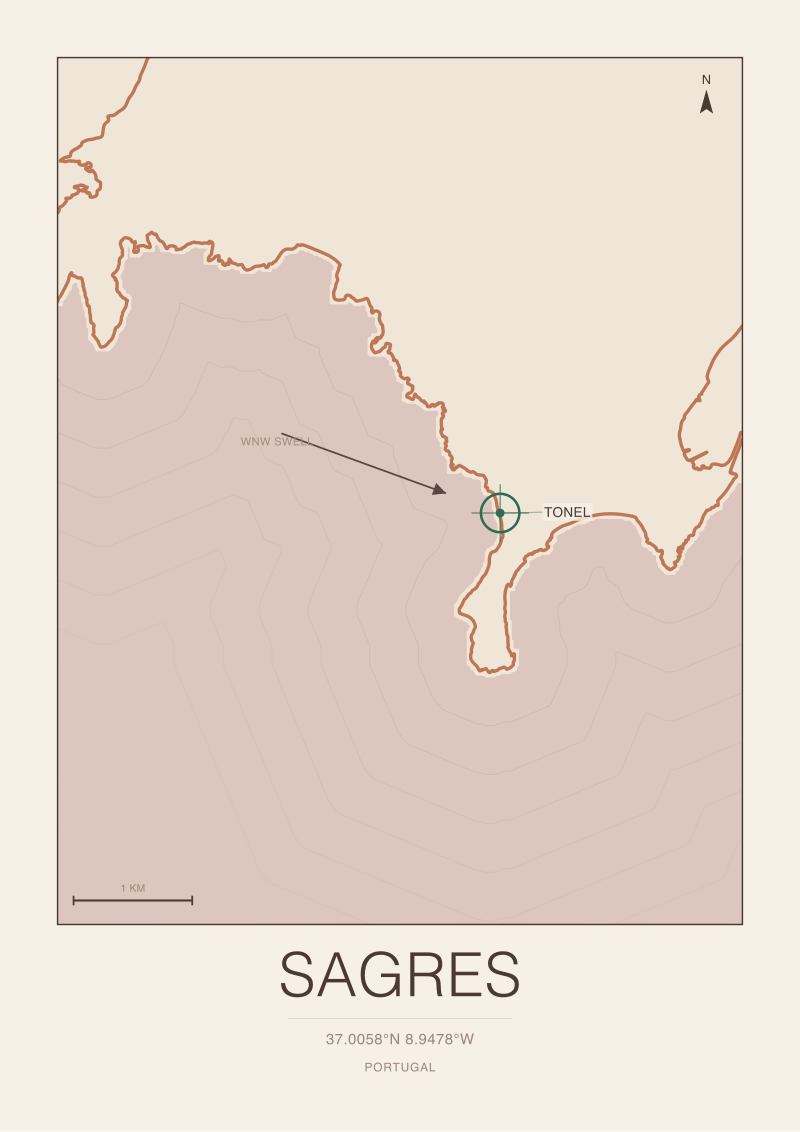
Sagres, Portugal. The south-west corner of Europe, exposed to every swell direction. The real coastline around Tonel, at 37.0058, -8.9478. Coastline from OpenStreetMap; the swell lines are decorative, not a depth chart.

Hossegor
Hossegor, France. The powerful beach breaks of the Landes coast. The real coastline around La Gravière, at 43.6713, -1.4420. Coastline from OpenStreetMap; the swell lines are decorative, not a depth chart.
Biarritz
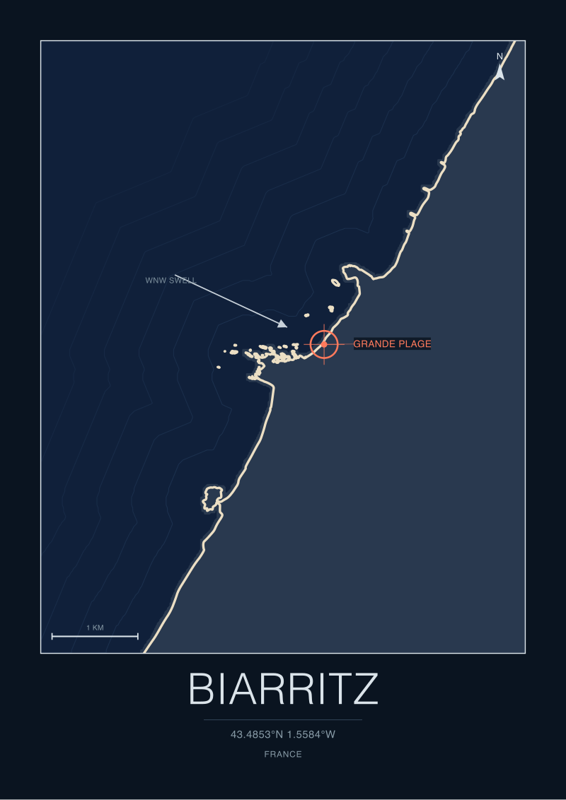
Biarritz, France. Where European surfing began, on the Basque shore. The real coastline around Grande Plage, at 43.4853, -1.5584. Coastline from OpenStreetMap; the swell lines are decorative, not a depth chart.
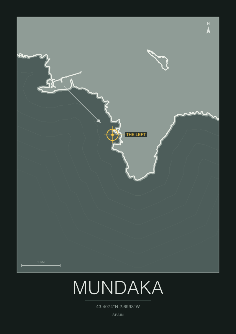
Mundaka
Mundaka, Spain. One of the longest left-hand river-mouth waves in the world. The real coastline around The left, at 43.4074, -2.6993. Coastline from OpenStreetMap; the swell lines are decorative, not a depth chart.
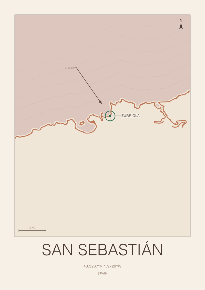
San Sebastián
San Sebastián, Spain. The Zurriola beach break in the heart of the city. The real coastline around Zurriola, at 43.3267, -1.9729. Coastline from OpenStreetMap; the swell lines are decorative, not a depth chart.
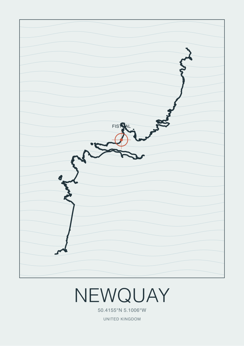
Newquay
Newquay, United Kingdom. Fistral and the Atlantic-facing beaches of Cornwall. The real coastline around Fistral, at 50.4183, -5.1003. Coastline from OpenStreetMap; the swell lines are decorative, not a depth chart.
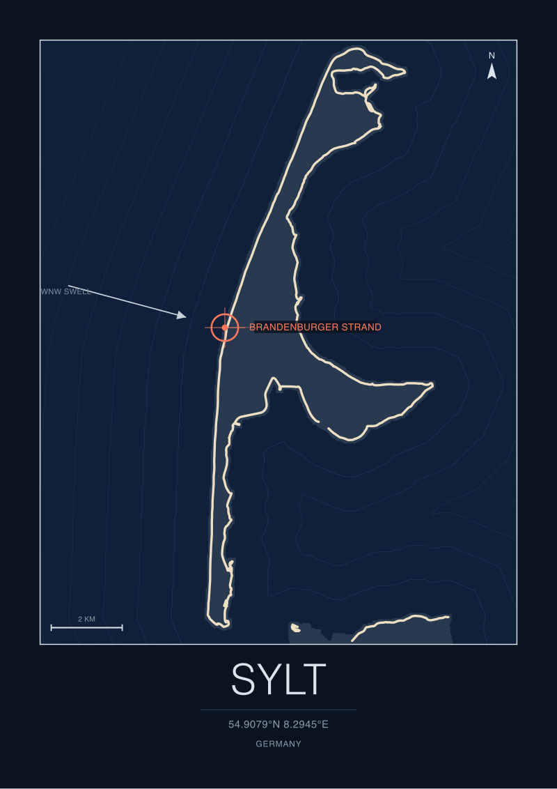
Sylt
Sylt, Germany. North Sea swell on Germany's northernmost island. The real coastline around Brandenburger Strand, at 54.9079, 8.2945. Coastline from OpenStreetMap; the swell lines are decorative, not a depth chart.
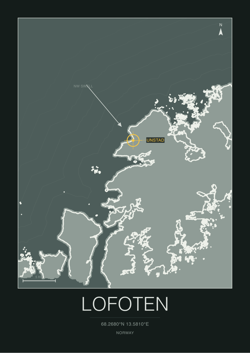
Lofoten
Lofoten, Norway. Cold-water waves under Arctic peaks. The real coastline around Unstad, at 68.2680, 13.5810. Coastline from OpenStreetMap; the swell lines are decorative, not a depth chart.
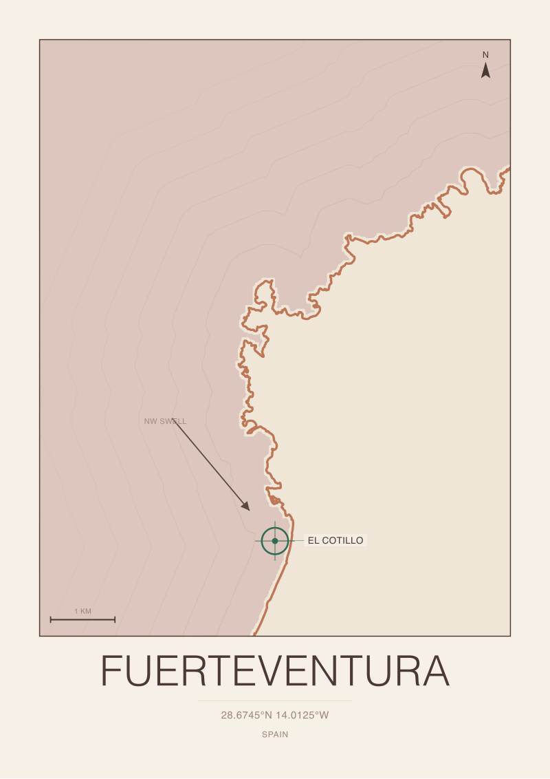
Fuerteventura
Fuerteventura, Spain. The reef and beach breaks of the Canary trade winds. The real coastline around El Cotillo, at 28.6745, -14.0125. Coastline from OpenStreetMap; the swell lines are decorative, not a depth chart.
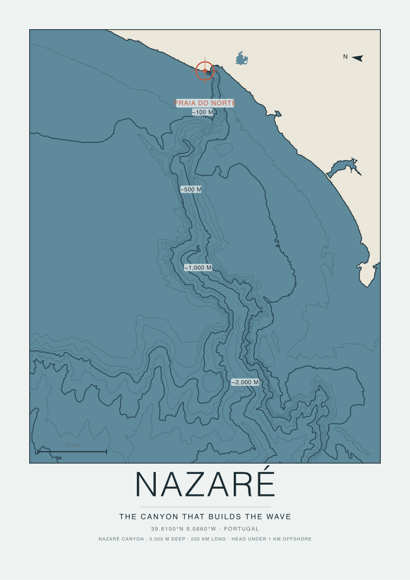
Nazaré Canyon
Nazaré, Portugal. The Nazaré Canyon rendered as bathymetry. Europe's largest submarine canyon, about 230 km long and reaching depths near 5,000 metres, with its head sitting less than one kilometre off Praia do Norte. That undersea shape is what focuses the Atlantic swell into the giant. Depth contours from EMODnet bathymetry.
The Old Charts
4 prints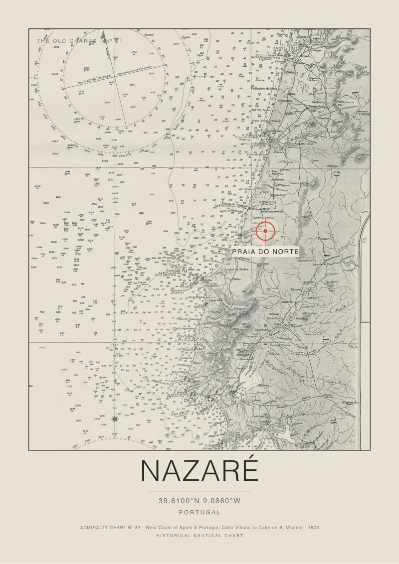
The Nazaré Chart, 1873
British Admiralty Chart Nº 87, the West Coast of Spain and Portugal from Cabo Villano to Cabo de São Vicente, published 1873. The coral crosshair marks the modern break at Praia do Norte, Nazaré, at 39.6100 North, 9.0860 West, placed on the original survey. Reproduction of a public domain nautical chart.
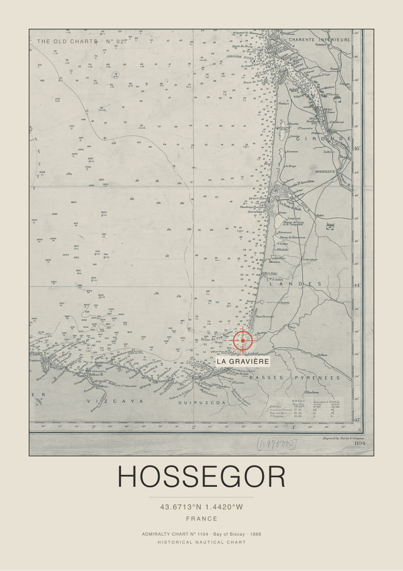
The Hossegor Chart, 1888
British Admiralty Chart Nº 1104, the Bay of Biscay, published 1888. The coral crosshair marks the modern break at La Gravière, Hossegor, at 43.6713 North, 1.4420 West, over the deep water canyon of Capbreton the chart records as the Fosse de Cap Breton. Reproduction of a public domain nautical chart.
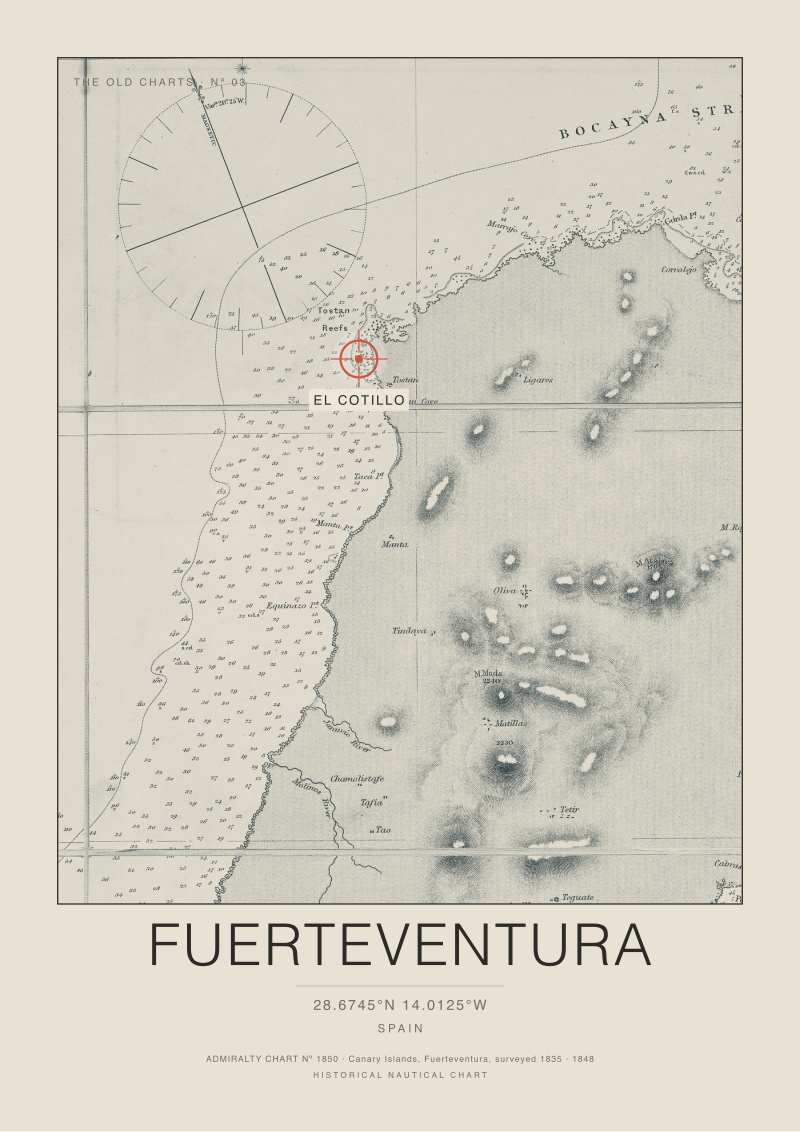
The Fuerteventura Chart, 1848
British Admiralty Chart Nº 1850, the Canary Islands, Fuerteventura, from the survey of 1835 and published 1848. The coral crosshair marks the modern break at El Cotillo, on the Tostón point at 28.6745 North, 14.0125 West, placed on the original survey. Reproduction of a public domain nautical chart.
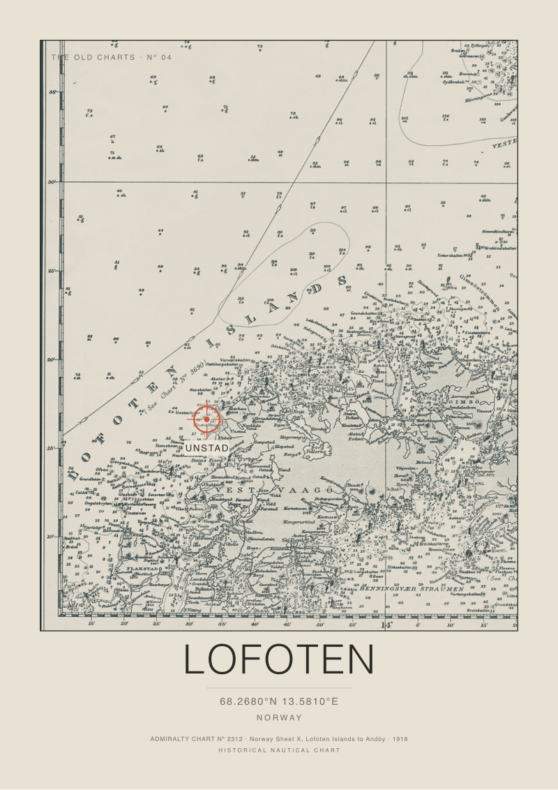
The Lofoten Chart, 1918
British Admiralty Chart Nº 2312, Norway Sheet X, the Lofoten Islands to Andöy, published 1918. The coral crosshair marks the modern break at Unstad, on the outer coast of Vestvågøy at 68.2680 North, 13.5810 East, placed on the original survey. Reproduction of a public domain nautical chart.