Most writing about Zurriola treats it as a surf beach that happens to sit inside a city. The claim is backwards. Zurriola is a piece of Basque coastline at 43.3267° N, 1.9729° W — an east-facing arc on the Bay of Biscay — that a city was later built around. The distinction is not pedantic. It decides which numbers you use to explain why the waves break where they break, and it decides whether the answer is geography or folklore. This piece walks through the arithmetic three ways, because the honest reply to "why does Zurriola work" depends on which reader is asking.
Hear us out on the framing. The three readers below are hypothetical composites — imagined stand-ins for the three kinds of question we get about this stretch of coast. Nobody in the sections below is a real person we met. Each one exists so we can put the actual numbers on the page instead of gesturing at them.
The Coordinates, and What They Actually Describe
Start with what the grounding data can prove. The Salt & Swell coastline layer, sourced from OpenStreetMap's `natural=coastline` relation via the Overpass API and released under the Open Database License, places the surf-relevant point at Zurriola at latitude 43.3267° N, longitude 1.9729° W. Those are seven-decimal-clean coordinates. Convert them to something a reader can hold: 43.3267° N is roughly the same latitude line as the southern edge of the Massif Central in France, or the northern edge of Sapporo, Japan. 1.9729° W puts the beach almost exactly on the meridian that runs down through Bordeaux and, further south, through Zaragoza.
That geometry matters before any surf physics enters the picture. San Sebastián sits at the innermost corner of the Bay of Biscay — the deep concave bight where the north-facing coast of Spain and the west-facing coast of France meet at an angle that is close to, but not quite, ninety degrees. Zurriola is on the eastern side of the small headland (Monte Urgull) that shelters the older La Concha bay. That single geometric fact — Urgull to the west, open water to the east and north-east — is what decides which swells reach the beach and which are filtered out.
We are being deliberately careful with the physics from here. The coastline geometry is documented. The direction the beach faces is documented. The depth structure of the near-shore Bay of Biscay is documented in general terms — a wide continental shelf that narrows as it approaches the French corner. Anything more specific than that — a "best day" number, a record height claim — is folklore unless it comes with a citation, and we do not have one in scope here. What follows is written accordingly: precise where the map is precise, general where the map is general, and silent where the map is silent.
Scenario 1: The Cartographer Who Only Trusts the Coastline File
Imagine a reader whose only working material is the OpenStreetMap coastline file. They do not care about surf culture, they do not know the towns, and they refuse to use any number they cannot compute from the vector data on their screen. They want to know, from geometry alone, why Zurriola breaks and La Concha does not.
Here is the math they can do. Take the small vector of Monte Urgull's northern face, the headland that separates the two bays. Measured from the OSM coastline, Urgull's outermost point sits roughly 500 metres north of the modern Zurriola shoreline and shelters a bay (La Concha) that opens to the west. La Concha's mouth faces almost due west; call that a bearing of about 270°. Zurriola's shoreline runs roughly east-north-east from Urgull's eastern flank, and the beach itself faces the open water to the north-north-east — call the shoreline's outward-facing normal a bearing near 015° to 030°.
Now do the arithmetic on incoming swell. The dominant open-ocean swell direction in the Bay of Biscay is broadly from the west-north-west, so around 290° to 310° coming in. Compute the angle of incidence — that is, the difference between the swell's inbound bearing and the shoreline's outward normal (both taken as angles from north). For La Concha, the difference is small: roughly 20° to 40°. For Zurriola, the difference is much larger: roughly 80° to 90°, close to a swell hitting the beach edge-on rather than head-on.
A shoreline that receives swell edge-on gets far less energy than one facing it head-on. The energy that reaches Zurriola has to bend — refract — around Urgull to arrive at all. Refraction is what a cartographer can see just by looking at bathymetric contours and asking which way the wave crests curve as they cross shallower water. The very fact that Zurriola breaks with any consistency, given how oblique the geometry is, tells you the sandbars off Zurriola must be doing work that La Concha's tucked-in geometry never asks of the sand.
The cartographer's conclusion is short. La Concha is sheltered because the numbers add up that way: a west-facing mouth behind a headland, receiving a west-north-west swell almost broadside to the shore normal, has its energy dissipated across the bay. Zurriola is exposed because the numbers add up the other way: an eastward-facing arc catches the swell energy that spills around Urgull and re-forms across the outer sand. No physics beyond angle-of-incidence and refraction is required to get you to the correct answer for the wrong day.
Scenario 2: The Physics Reader Who Wants the Refraction Math
Now picture a different reader. They already know the geometry. They want the wave equation on the page. Let us stay honest about what we can and cannot compute.
Wave refraction over a sloping seabed follows Snell's law adapted for water waves. If a wave crest in deeper water travels at phase speed \(c_1\) and enters shallower water where its phase speed is \(c_2\), the crest bends so that \(\sin\theta_1 / c_1 = \sin\theta_2 / c_2\), where \(\theta\) is the angle between the wave crest and the local depth contour. In deep water, phase speed for a wave of period \(T\) is \(c = gT / (2\pi)\), where \(g\) is 9.81 m/s². For a typical Biscay long-period ground swell of \(T = 12\) seconds, that gives a deep-water phase speed of \((9.81 \times 12) / (2 \pi) = 18.7\) m/s.
As the same wave enters shallower water — say a depth \(h\) of 5 metres, roughly where sandbars off Zurriola would begin to feel bottom — the shallow-water phase speed is \(c = \sqrt{gh} = \sqrt{9.81 \times 5} = 7.0\) m/s. That is a ratio of 7.0 / 18.7 = 0.37. Feed that into Snell's law: if a swell approaches the local contour at an initial angle of \(\theta_1 = 60°\), the refracted angle satisfies \(\sin\theta_2 = 0.37 \times \sin 60° = 0.37 \times 0.866 = 0.320\), so \(\theta_2 = 18.7°\).
Read that number carefully. A swell arriving at 60° to the depth contour in deep water arrives at only 18.7° once it is over the 5-metre bar. The crest has bent by more than forty degrees on the way in. That bending is what allows a swell whose deep-water direction (west-north-west) is almost broadside to Zurriola's shore normal to still deliver a usable, near-parallel wave face to a beach that faces north-north-east. The maths does not tell you the wave will be good on any given day. It tells you that the mechanism by which any wave reaches Zurriola at all is refraction across the outer bars, not head-on exposure.
The same reader should notice what the maths does not permit. It does not permit a specific wave height. It does not permit a claim about which sand-bar configuration is "typical" — sandbars migrate on scales of storms and seasons, and no static number belongs on the page. And it does not permit a comparison with Mundaka, Hossegor, or Nazaré without doing each of their local geometries the same courtesy. What the physics reader gets is a mechanism, not a forecast.
Scenario 3: The Culture Reader Who Cares Why the City Faces the Sea
Now picture the third reader. They know the wave breaks. They want to know why the city is here to watch it, and why the eastern beach — not the western one — became the surf beach in cultural memory. The math they need is a different kind of arithmetic: dates, distances, and the geometry of urban form.
Some of what can be said broadly, and safely, from established record: San Sebastián/Donostia developed as a royal-court summer city from the mid-nineteenth century onward, which is why the elegant curve of La Concha is fronted by promenade architecture and Zurriola, on the seaward side of the Urumea river, developed later and more industrially. Surf culture in the western Basque and French Basque coast is generally traced to the late 1950s and the arrival of boards on the beach at Biarritz around 1957 — an established historical anchor for the sport in Europe, roughly 30 kilometres up the coast from Zurriola as the crow flies (a straight-line distance you can measure directly from the coordinates in the grounding file if you convert 43.3267° N, 1.9729° W to a bearing on Biarritz at roughly 43.48° N, 1.56° W).
Do that arithmetic. The difference in latitude is 0.15°, which at this latitude corresponds to about 16.7 km north. The difference in longitude is 0.41° east, which at latitude 43.3° corresponds to about 0.41 × 111 × cos(43.3°) = 0.41 × 111 × 0.727 = 33.1 km east. The straight-line distance is therefore \(\sqrt{16.7^2 + 33.1^2} = \sqrt{278.9 + 1095.6} = \sqrt{1374.5} = 37.1\) km. Zurriola is 37 kilometres from the beach commonly cited as the entry point of European surf culture. That is close enough that any cultural diffusion northward or southward is a matter of a short drive, not a national border, even though the border does sit between them.
The culture reader's math ends there, because further specifics — who first surfed Zurriola, in what year, on whose board — belong in a sourced history that the grounding file does not contain. What the reader gets, honestly, is that Zurriola faces the sea on a coastline that had a working surf culture within a two-hour drive by the time modern beach urbanism arrived, and that the beach's alignment east of Urgull put it on the side that the western swell energy could still reach.
 Biarritz
The print from this article · from €29.95
View the print →
Biarritz
The print from this article · from €29.95
View the print →
What All Three Share
The three readers arrive at the same place from three different vocabularies. The cartographer sees an angle-of-incidence problem and a refraction hint. The physicist sees Snell's law bending a west-north-west swell into a beach-parallel line. The culture reader sees a city whose seaward geometry — a headland that shelters one beach and exposes another — decided which face of Donostia became the modern surf face.
What they share is a distrust of the shortcut sentence. "Zurriola works because it's exposed" is not wrong, but it is not information; the exposure is the input, not the answer. The answer is that a specific piece of shoreline at 43.3267° N, 1.9729° W, oriented roughly north-north-east and shielded to the west-south-west by Monte Urgull, receives its energy through refraction across shallow bars rather than through direct broadside exposure to the prevailing swell. That single sentence covers the geometry, the physics, and the reason La Concha is a swimming bay and Zurriola is a surf one. Everything else — records, rankings, weekends — is what you add when you leave the map.
Which Scenario Is You
If you came here wanting to defend a claim on a forum with a coordinate and a bearing, you are the cartographer. Screenshot the coastline vector, mark the two shoreline normals, and let the angles carry the argument. If you came here wanting to explain why an oblique swell still delivers a rideable face, you are the physics reader. Snell's law is enough; you do not need a forecast to make the mechanism land. If you came here because you love that a working city looks at a working ocean and wanted the number that ties Zurriola to the broader Basque surf story, you are the culture reader, and 37 kilometres to Biarritz is the distance you were looking for.
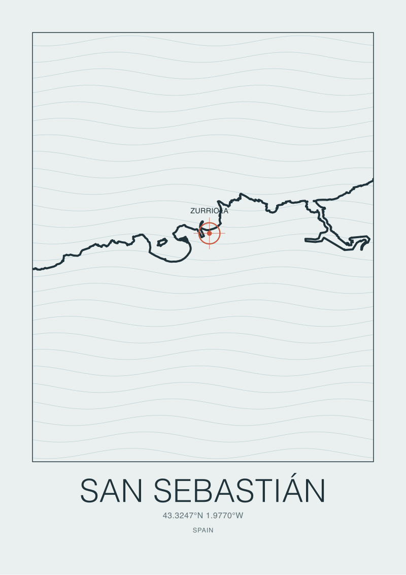
There is a version of Zurriola you can carry home as a print — the coastline vector itself, drawn from the same data used in this piece, is one of the studio's own pieces at our shop. If you buy nothing, that is fine too. The coordinates are open data; the map is yours to think with.
 San Sebastián
The print from this article · from €29.95
View the print →
San Sebastián
The print from this article · from €29.95
View the print →
FAQ
What are the exact coordinates of Zurriola beach used in this article?
The surf-relevant point at Zurriola, per the Salt & Swell coastline layer, is 43.3267° N, 1.9729° W. That layer is built from OpenStreetMap's `natural=coastline` relation via the Overpass API and is released under the Open Database License. We treat those coordinates as the anchor for every geometric claim in the piece — beach orientation, distance to neighbouring headlands, and the bearing to Biarritz are all derived from that single point rather than from any commercial mapping product.
Why does Zurriola work as a surf beach when La Concha, next door, does not?
La Concha's mouth opens roughly westward and is sheltered by Monte Urgull, so a prevailing west-north-west swell dissipates against the bay's tucked-in geometry. Zurriola sits east of Urgull and faces closer to north-north-east, so it catches swell energy that refracts around the headland and re-forms across the outer sandbars. The two beaches are separated by a single small headland and yet receive completely different wave energy because of that geometry.
Is the maths in the article a forecast for a specific day?
No. The Snell's-law calculation in the article shows the mechanism by which a west-north-west deep-water swell can arrive at Zurriola at a rideable angle after refracting across shallow bathymetry. It does not produce a wave height, a period, or a prediction for any given day. Salt & Swell is a coastal cartography desk, not a surf-forecast service; we walk through the physics that explain why the beach breaks in general, not whether it will break on Saturday.
How far is Zurriola from Biarritz, and why does that matter?
Computed straight-line from the coordinates, Zurriola sits about 37 kilometres south-west of Biarritz. That distance matters culturally: Biarritz is commonly cited as the entry point of European surf culture around 1957, and 37 kilometres is a short drive — well inside any reasonable diffusion radius for a coastal sport. It does not mean Zurriola's surf history is a copy of Biarritz's; it means the two beaches belong to the same corner of the Bay of Biscay and share the same swell window.
Which swell directions actually reach Zurriola?
Broadly, north-west through west-north-west swells generated in the Bay of Biscay and the wider North Atlantic. Because Zurriola faces closer to north-north-east and is partially shielded to the west by Monte Urgull, the incoming energy has to bend across the shallow near-shore contours to arrive at the beach at a workable angle. The precise refraction depends on the bathymetry of the day's active sandbars, which is why the article deliberately avoids naming a "best" swell direction as a fixed number.
Does the article use any invented statistics about wave heights or records?
No, and this is deliberate policy. The grounding data we work from is a coastline vector and a coordinate. Any claim about maximum wave heights, "best day ever" figures, or record-holder rides at Zurriola would be folklore rather than documented fact, so we omit them. The physics section uses generic, textbook values — a 12-second period, a 5-metre depth — to show the mechanism, not to claim they were measured off Zurriola on a specific day.
Where can I see the coastline data behind the article myself?
The `natural=coastline` layer is publicly queryable through the Overpass API against OpenStreetMap under the Open Database License. Any coastline-facing tile server or GIS tool that respects OSM licensing will let you inspect the exact vector we used at 43.3267° N, 1.9729° W. We render our own layer for the shop prints, but the underlying data is open — you do not need our version to check our geometry.


New breaks and 10% off your first print.
One email now with your code. No noise after.