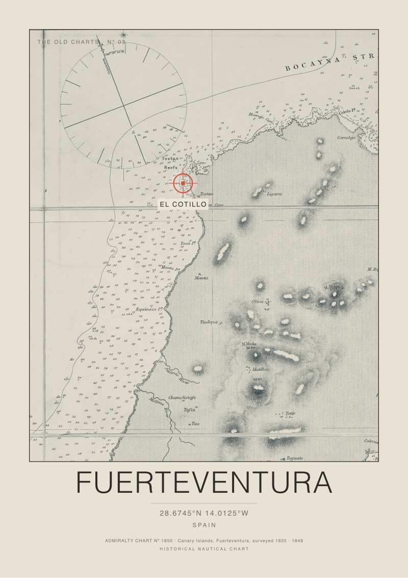
The Fuerteventura Chart, 1848
British Admiralty Chart Nº 1850, the Canary Islands, Fuerteventura, from the survey of 1835 and published 1848. The coral crosshair marks the modern break at El Cotillo, on the Tostón point at 28.6745 North, 14.0125 West, placed on the original survey. Reproduction of a public domain nautical chart.
€29.95

Fuerteventura
The Breaks
This print has a companion in The Breaks. The two were designed as a diptych: hang them side by side and they read as one work.
From €29.95
Archival gicléeMuseum grade, fade resistant, rated 200+ years.
Made to orderPrinted individually in Europe on heavy archival stock.
DeliveryA short production stage, then 3 to 7 business days across the EU.
Secure checkoutCard payment handled by Stripe.