Sagres isn't really a surf town. Hear me out. The place at Europe's southwestern hinge is a fishing port, a fortress ruin at Ponta de Sagres, and — above all — a wind refuge, and only accidentally the coast where surfers converge when Ericeira turns onshore. The distinction matters. Every guide sold as "Sagres surf" is actually selling you the peninsula's geometry: a coastline that pivots roughly ninety degrees at Cabo de São Vicente, offering a west-facing shore and a south-facing shore separated by two kilometres of headland. That geometry is the whole handbook. What follows is a flowchart in prose. Answer three questions honestly and the coast tells you where to stand.
Question 1: Is the Wind Blowing from the North?
This is the first fork because it is the only fork that matters on most days of the Sagres year. The northerly regime — the nortada — is the peninsula's default summer wind, and it is the reason foreign surfers keep the town's rental economy alive from June through September. On the west coast of Portugal, a north wind blows straight down the shore, roughening every beach from Peniche to Odeceixe. At Sagres, the same wind meets a coastline that has just bent ninety degrees eastward at Cabo de São Vicente. What was an onshore wind for eight hundred kilometres becomes, in the space of two kilometres of headland, an offshore wind for the south-facing shore.
The question, then, is not academic. It routes you to a shore. Answer it wrong and you drive twenty minutes to the wrong side of the peninsula, park above a beach that is being sandblasted from behind, and blame the forecast. Answer it right and the same wind that ruined every other spot in Portugal is grooming the face of a wave for you at Zavial or Ingrina.
If Yes
Go south. The south-facing beaches — Zavial, Ingrina, Furnas, Praia da Mareta inside Sagres town itself — sit in the wind shadow of the headland. A north wind at fifteen or twenty knots reaches them as a light offshore, holding wave faces open. Mareta in particular is a survival option: it faces almost due south, is walkable from the town centre, and is the beach to read when you are new to the peninsula and want to fail cheaply. Do not expect size on these days. South-facing shores in the Algarve pick up refracted west swell at a fraction of the open-ocean height. You are trading power for shape. That is the deal, and on nortada days it is the only deal available.
If No
Go west, cautiously. When the wind swings east, southeast, or dies to a morning calm, the west-facing beaches — Tonel, Beliche, Cordoama, Castelejo — become the honest surf coast. Tonel sits directly beneath the fortress at Ponta de Sagres, at roughly 37.006° N, 8.948° W, and it is the closest west-facing option to town. It takes swell straight off the North Atlantic without the refraction losses the south side pays. This is where the peninsula earns its surf reputation. It is also where the peninsula's power lives. If the answer to Question 1 is "no, the wind is offshore or light on the west shore", proceed to Question 2 before you park.
Question 2: Are You Reading a Headland-Sheltered Coast for the First Time?
The second fork is about you, not the map. A headland coast rewards patience and punishes swagger. The geometry that makes Sagres useful — the pivot at Cabo de São Vicente, the two-kilometre wall of cliff between the west shore and the south shore — also produces conditions that misread badly from the beach. A south-facing bay in a north wind looks flat from the car park because the swell has bent around a headland to reach it; what you see from above is the refracted remainder, not the wave that will stand up on the sandbar. A west-facing beach in a clean west swell looks manageable because the cliffs compress your sense of scale; the wave that seemed waist-high from the top of the path arrives at chest height with the weight of a full-fetch Atlantic behind it.
The question matters because the two shores demand two different reading protocols, and the west shore's protocol is unforgiving of the wrong instinct.
If Yes
Start on the south side regardless of the wind. Praia da Mareta in the town of Sagres itself is the training ground. It is protected, lifeguarded in season, and slopes gently enough that a misjudged paddle out costs you a walk of shame rather than a rescue. Spend a session reading how the peninsula's geometry filters swell — how a west swell arrives here as a soft, refracted push rather than a wall — before you drive to Tonel or Beliche and try to read the raw article. The south coast is where you calibrate. The west coast is where you spend the calibration. Reverse that order and the peninsula will eventually correct you.
If No
You still watch the water for twenty minutes before you suit up. This is not caution theatre. The west-facing beaches — Tonel especially — have current patterns that shift with the tide against cliff bathymetry, and the peak that worked at low tide can turn into a rip channel at mid. Sit on the cliff. Watch three sets. Identify the paddle-out lane, the section that closes out, and the point where a wave that came in cleanly leaves as a boil. Then decide. Reading a coast is a skill the coast does not offer to teach twice.
 Sagres
The print from this article · from €29.95
View the print →
Sagres
The print from this article · from €29.95
View the print →
Question 3: Is the Swell Direction West-Northwest, or Something Softer?
The third fork narrows the recommendation. Swell direction at Sagres is decisive in a way it is not at, say, Ericeira. The peninsula's geometry acts as a directional filter: a west-northwest swell wraps cleanly around Cabo de São Vicente and lights up the whole west shore with organised lines, while a straight west or west-southwest swell arrives with less angle, hits Tonel and Beliche head-on, and produces the heavier, less forgiving surf that gives the west coast its reputation. A southwest swell — rarer, usually storm-driven — is the one direction that meaningfully activates the south-facing beaches beyond their refracted baseline. It is also the direction that closes out Zavial.
You do not need a forecast tool to answer this if you are already on the peninsula. Stand at the tip of Ponta de Sagres and look at the horizon. A swell arriving from your right shoulder — from the northwest quadrant — is the wrap swell. A swell arriving straight in front of you is the head-on swell. The angle tells you the shore.
If Yes
West-northwest is the peninsula's best-case swell. Tonel handles it cleanly; Beliche, tucked slightly further north and east, handles it even more cleanly and is often the answer when Tonel starts to overpower. Cordoama and Castelejo — the beach breaks up the west coast toward Vila do Bispo — open up as size increases, and the drive is fifteen minutes from Sagres town. On a WNW swell with a light east wind, the west shore of Sagres is one of the more organised setups in western Iberia. It is also crowded, because the same forecast reads well from Lisbon. Plan for company.
If No
If the swell is straight west, west-southwest, or you cannot tell, default south unless you have already logged a session on the west shore this week. A softer or head-on swell produces a west coast that is either heavy in a way that flatters no one's ability or fickle in a way that wastes your morning. The south shore in those conditions is not glamorous but it is honest — you get a wave, you catch some of it, you go back in. This is the answer that most travellers do not want to hear and that the coast keeps giving anyway.
If You Answered Everything: The Coast-Choice Table
Eight combinations, one recommendation each. Read your row. The recommendation is a sentence, not a promise — the coast retains the final vote.
| Q1 Wind from N? | Q2 First time on this coast? | Q3 WNW swell? | Recommendation |
|---|---|---|---|
| Yes | Yes | Yes | Praia da Mareta in Sagres town — calibrate the south shore first, ignore the WNW swell today. |
| Yes | Yes | No | Praia da Mareta or Zavial — the south shore is the only sane read, and it will be small. |
| Yes | No | Yes | Zavial or Ingrina — the nortada grooms these beaches offshore while the west shore burns. |
| Yes | No | No | Zavial for shape, Mareta for a shorter drive — accept a small day and stop pushing. |
| No | Yes | Yes | Mareta first to warm up, then Beliche if the session tells you your reading is honest. |
| No | Yes | No | Mareta — the west shore in a head-on swell is not where first-timers on this coast learn. |
| No | No | Yes | Tonel or Beliche — the peninsula's best-case day, watch three sets before paddling. |
| No | No | No | Beliche over Tonel, or drive north to Cordoama — pick the beach that hides the direction. |
The table is a routing tool, not a ranking. None of these beaches is objectively better than the others; each is the correct answer to a specific set of conditions, and the wrong answer to every other set. That is what a headland coast does. It turns the question "where should I surf?" into the question "what is the weather doing?", and the second question has a real answer on every day of the year.
A note on what the table does not cover: tide state, crowding pattern, and access. Tonel and Beliche are best in a workable window around low to mid tide; Mareta is more tide-tolerant because the wave is slower. Weekend mornings from July through September see the parking at Tonel fill by nine, and the walk down to Beliche is a staircase that discourages boards over seven feet. These are secondary filters that live below the three questions above, and the peninsula will teach them to you within the first week if you are paying attention.
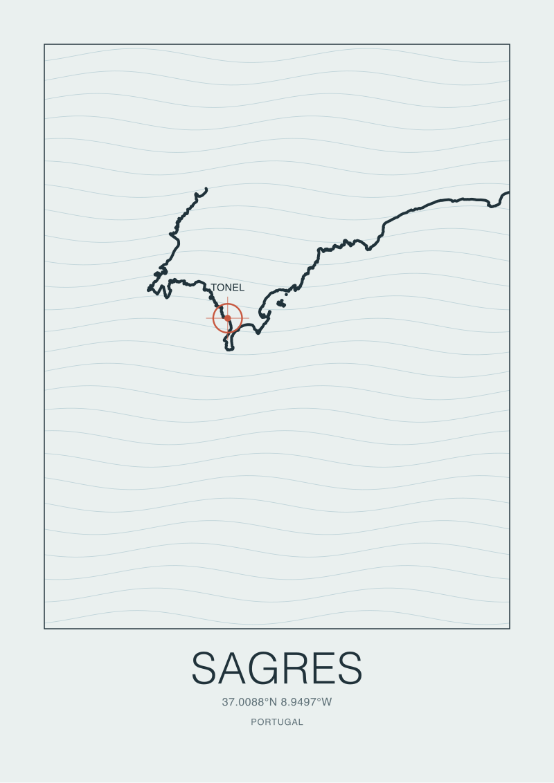
If you find yourself standing on the cliff at Ponta de Sagres between decisions — most visitors do, at least once — that is the correct place to be standing. From the fortress wall you can see both shores. The west opens to your right, exposed and honest. The south stretches to your left, sheltered and patient. The lighthouse at Cabo de São Vicente is two kilometres further west, marking the actual hinge. We draw this stretch of coast for the shop because the geometry is worth looking at even when you are not deciding where to paddle out; if you want the peninsula as a coastal chart rather than a forecast, the Sagres print in the /shop/ is drawn from the same coastline data that shapes this handbook.
 Ericeira
The print from this article · from €29.95
View the print →
Ericeira
The print from this article · from €29.95
View the print →
FAQ
Is Sagres a good place to learn to surf?
It depends on which shore you learn on. Praia da Mareta, inside the town itself and facing south, is genuinely one of the better learn-to-surf beaches in southern Portugal because the wave is small, slow, and sheltered from the summer north wind. The west-facing beaches — Tonel, Beliche, Cordoama — are not beginner beaches. They face the open Atlantic without refraction, and the same swell that entertains an intermediate at Mareta will overwhelm a first-timer at Tonel.
Why do surfers go to Sagres when the rest of Portugal is onshore?
Because the peninsula's coastline pivots roughly ninety degrees at Cabo de São Vicente. The nortada — the persistent summer north wind — blows straight down the west coast of Portugal from May through September, roughening beaches from Peniche to Odeceixe. At Sagres, the same wind reaches the south-facing beaches as a light offshore, holding wave faces open when every other Atlantic shore in the country is closed for wind. The town is a wind refuge before it is a surf destination.
What is the difference between Tonel and Praia da Mareta?
Tonel faces west, sits directly beneath the fortress at Ponta de Sagres, and takes swell head-on from the North Atlantic — it is the peninsula's most powerful accessible break. Praia da Mareta faces south, is sheltered by the same headland, and receives only the refracted remainder of west swell. In practice: Tonel is where the peninsula's serious surf happens; Mareta is where the peninsula's teachable surf happens. They are two kilometres apart and often produce entirely different sessions on the same day.
When is the surf season in Sagres?
The peninsula works year-round, which is unusual for European surf coasts. Winter, roughly November through March, brings the largest and cleanest swells to the west-facing beaches and lighter crowds. Summer, June through September, brings the reliable north wind that makes the south-facing beaches the more consistent option and the town's peak season. Spring and autumn are the transitional windows where either shore may deliver, and the crowds are thinnest.
Are the west-facing beaches near Sagres dangerous?
They demand respect rather than fear. Tonel, Beliche, and the beaches north toward Cordoama sit on an exposed west coast with cliff bathymetry, shifting sandbars, and current patterns that change with the tide. Rescues happen most often to visitors who read the wave from the top of the cliff — where the scale is compressed — and paddle out without watching a full set cycle. The rule is unromantic: sit on the cliff for twenty minutes, identify the rip channels, and only then decide.
Can I walk between the main Sagres surf beaches?
Only Praia da Mareta is a genuine walk from the town centre. Tonel is a short drive or a longer walk along the cliff road toward the fortress. Beliche, Zavial, Ingrina, Cordoama, and Castelejo all require a car — Beliche and Cordoama are within a fifteen-minute drive; Zavial and Ingrina are on the south coast east of Sagres, also inside fifteen minutes. The peninsula's usefulness as a wind refuge depends on being able to move between shores quickly, so most visitors rent a vehicle.
What does the fortress at Ponta de Sagres have to do with the surf?
Historically, nothing — the fortress is a fifteenth-century navigational site associated with the age of Portuguese exploration. Geographically, everything. The fortress sits on the headland whose two-kilometre wall of cliff creates the wind shadow that shelters the south-facing beaches from the north wind. Standing on the fortress wall is the single best vantage point on the peninsula for reading both shores at once, which is why it is the correct place to be standing when you cannot decide where to paddle out.



New breaks and 10% off your first print.
One email now with your code. No noise after.