Peniche sits at 39.3535° north, 9.3626° west. That is the receipt. The rest of this piece is a reaction to what those two numbers, held against the shape of the Portuguese coast, already tell you about why Supertubos breaks the way it breaks.
The short version, stated up front: Supertubos is not a lucky beach. It is a beach that a peninsula, an Atlantic fetch, and a specific stretch of shoreface bathymetry have been aiming at for a very long time. Everything else in this article is the argument for that sentence.
What the Numbers Actually Say
Read the coordinates as a place, not as a pin. At 39.35° north, Peniche sits far enough south of the canyon-focused Portuguese mid-coast to escape the physics that dominates the shore around Nazaré, and far enough north of Lisbon to stay in the deep-water swell corridor that the North Atlantic sends toward Iberia from the west and northwest. The peninsula that Peniche occupies juts westward from the mainland — a hooked block of limestone with a narrow neck at the town and a broadened head at the western cape. The coordinates land, specifically, on the southern face of that peninsula.
That geometry matters more than any single wave. A westward-projecting peninsula does two things at once. It intercepts long-period Atlantic swell before that swell reaches the mainland shore behind it. And it shelters the water immediately south and east of the peninsula from local wind chop travelling down the coast from the north. The southern face of Peniche gets clean swell delivered onto a coast that is, by the standard of this region, quieter than it should be.
Supertubos itself is on that southern face. Not the north side, which takes the full brunt of local northerlies. Not the tip, which is a cliff. The sand stretch south of Peniche town — the shore that the peninsula shelters from the north wind while still exposing to west-northwest swell — is where the wave was going to happen regardless of any surfer showing up to name it.
The name "Supertubos" is descriptive rather than aspirational. Beach breaks in this configuration produce hollow, tube-shaped waves when the sandbars are set up correctly. That is a consequence of steep beach face plus refracted, energy-concentrated swell arriving with minimal wind interference. The map tells you the beach face is steep. The swell chart tells you the energy is arriving. The peninsula tells you the wind is being handled.
What Nobody Mentions
The peninsula and the swell are fixed inputs. The sand is not. A beach break is a negotiation between the shoreface bathymetry — which is temporary, not permanent — and the swell that arrives on it. Supertubos is world-known for its hollow shape, but the shape is a seasonal function of how the sandbars have most recently been rearranged by winter storms, autumn rip currents, and the recovery cycles that follow.
This is the part most explanations skip. Supertubos does not work because "Portugal has good waves". Portugal has, at its Atlantic edge, a long and heterogeneous coastline where the actual mechanism at each spot is different. Ericeira is reef and reserve. Nazaré is a canyon aiming energy at a lighthouse. Peniche is a peninsula grooming swell that the sand then decides how to break. Confusing one mechanism for another is how the coast becomes generic in the writing about it.
The corollary: Supertubos has good years and bad years. Not because the Atlantic changed, but because the sand did. A single season where the offshore currents did not carve the sandbars into the right offset ridges will produce a season of closeouts on a beach that was, the previous winter, producing the hollow sections that made it famous. That variability is documented behavior of every world-class beach break. It is not a flaw. It is the negotiation.
The other unmentioned thing: proximity. Peniche is a short drive from a major international airport and sits inside a working fishing port town. That access is why the wave has been documented and photographed at the scale it has. Waves elsewhere on this coast get less coverage not because they break less well but because reaching them is harder. Documentation bias flatters the accessible.
 Peniche
The print from this article · from €29.95
View the print →
Peniche
The print from this article · from €29.95
View the print →
The Real Cost
Put a figure on the gap between "this is a lucky beach" and "this is an aimed beach", and the figure is decades of misreading.
If Supertubos is treated as luck — a beach that happened to be good — then the framework for understanding it collapses to weather. Swell forecast on, wave on. Swell forecast off, wave off. That framework is wrong in a specific and expensive way: it does not account for the sand, and it does not account for the geometry. It tells the reader that Supertubos is a forecast problem. It is not. It is a coastline problem with a forecast overlay.
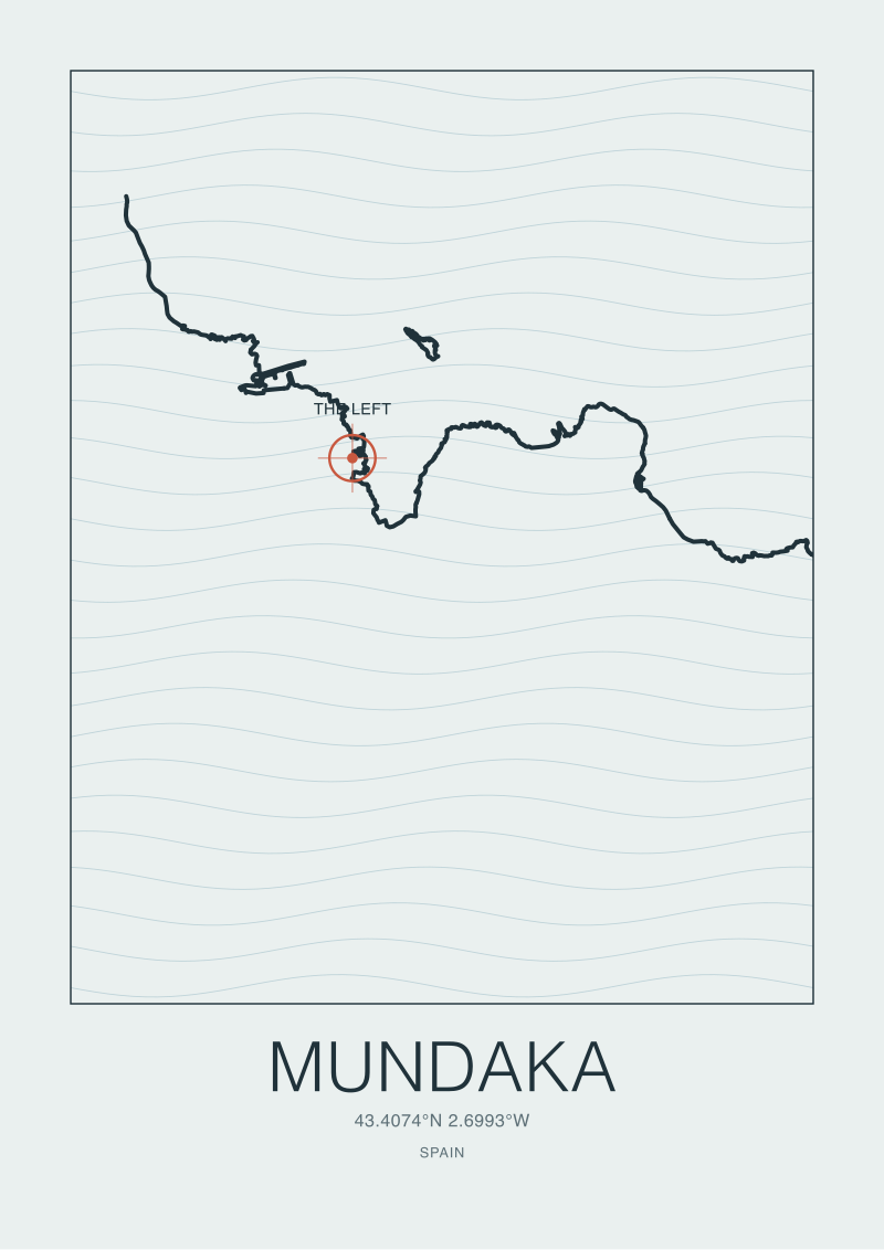
The cost of the misreading is that the same reader, taken to a coast with a different mechanism — a reef, a canyon, a river mouth — arrives with a mental model calibrated on a beach and tries to apply it. That is how Nazaré gets written about as if it were an unusually large beach break. It is not. It is a canyon story. That is how Mundaka gets written about as if it were a matter of wind. It is not. It is a river arguing with the sea. Each mechanism has its own reading. Confusing them is the cost.
For the coast itself, the cost is different. When Supertubos is framed as a location rather than a system, the pressure on the surrounding shore — sediment supply, dune stability, the near-shore currents that build the very sandbars the wave depends on — is treated as a coastal management question separate from the wave. It is not separate. The sandbars that make Supertubos hollow are built from sediment that arrives through processes an upstream beach modification can change. The wave and the coast are the same object. Reading them apart is how the object gets damaged without anyone reporting the damage.
If You Only Remember One Thing
Supertubos breaks the way it breaks because a westward peninsula grooms Atlantic swell onto a south-facing sand beach that the same peninsula is sheltering from the wrong wind. That is the mechanism. Everything else is scheduling.
The wave is not lucky. It is aimed. The map already knew.
This piece did not cover the seasonal wind patterns that decide whether any given day at Supertubos actually delivers on the geometry — that is a meteorology argument, not a coastline one. It did not cover the specific sediment supply chain that builds the sandbars, because that requires primary hydrographic data we do not hold. And it did not cover Peniche's competitive surf history at the level of named contests or named surfers, because the record on that is thinner and more contested than the record on the coast itself. Each of those is a separate piece.
The shop at see the Peniche print prints the coastline of Peniche at the scale where the peninsula's geometry becomes obvious. Reading a map of that shape is, on its own, most of the answer to the query that brought you here.
 Nazaré
The print from this article · from €29.95
View the print →
Nazaré
The print from this article · from €29.95
View the print →
FAQ
Why is Supertubos specifically hollow rather than just a big beach break?
Hollow, tube-shaped waves are a function of two variables: a steep beach face and clean, energy-dense swell arriving with minimal wind interference. Supertubos meets both. The southern face of the Peniche peninsula has a steeper offshore gradient than the long, shallow beaches further south along the Portuguese coast, and the peninsula shelters the water from the northerlies that would otherwise chop the swell. The name is descriptive, not marketing.
Does Supertubos work the same way every year?
No. The peninsula geometry and the Atlantic swell corridor are permanent inputs, but the sandbars are not. Beach-break sandbanks reorganize each winter as storms and rip currents redistribute the shoreface sediment. A good sandbar year produces the hollow sections the beach is famous for. A poor sandbar year produces more closeouts on the same swells. This is normal behavior for a world-class beach break, not a defect.
Is Peniche the same kind of surf coast as Nazaré?
No, and reading them as similar is a common mistake. Nazaré's waves are aimed by an underwater canyon that focuses swell energy at a single point on the coast. Peniche's waves are aimed by a peninsula that projects into the Atlantic and shelters the beach behind it from the wrong wind. Both mechanisms are geographic, but they are entirely different systems. Confusing the two is how the Portuguese coast gets written about as if it were one place.
Why does Supertubos face south when the swell arrives from the west?
Because the peninsula rotates the geometry. Peniche projects westward from the mainland, so the beach on its southern face still receives west-northwest Atlantic swell — the swell wraps around the peninsula and arrives at the sand on an angle that the shoreface then refracts into the hollow, wrapping shape the beach is known for. The south-facing orientation is what shelters it from north-wind chop while preserving the swell exposure. Both properties come from the peninsula's shape.
Is Peniche the best surf spot in Portugal?
"Best" is not a coastline question. Ericeira is a reef-and-reserve coast. Nazaré is a canyon-focused big-wave venue. Peniche is a peninsula-groomed beach break. Each answers a different question about waves. Ranking them against each other is a category error. The honest answer is that Peniche is the best beach break in Portugal in a specific configuration of sand and swell — and that configuration is not present every day of every year.
Does the peninsula shelter Supertubos from every wind direction?
No, only from northerlies and, partially, north-westerlies. Winds from the south, southeast, or east reach the beach directly and can degrade the wave face quickly. This is why local wind reading still matters when the swell chart looks perfect: the peninsula solves one wind problem and leaves the others intact. Reading the beach without reading the local wind direction is how a good forecast becomes a bad session.
What does the coastline actually look like from above at Peniche?
A hooked limestone block projecting westward from the mainland by roughly a few kilometres, with a narrow neck at the town and a broadened head at the western cape. The southern shore of that block is a long sand arc. Supertubos sits on that arc. From altitude the peninsula reads as a deliberate piece of geometry pointed at the Atlantic — which, for the purposes of the waves it produces, it functionally is.

New breaks and 10% off your first print.
One email now with your code. No noise after.