How does a village of two thousand people, tucked into a Basque estuary at 43.4074° N, produce a wave that professional surfers plan their calendars around? The answer is not in the water. It is in the ground beneath it. Mundaka sits at the mouth of the Oka river, where the Urdaibai estuary empties into the Bay of Biscay, and the wave that bears the village's name exists because a river and a sea have been arguing over a sandbar for centuries. This is a rivermouth story, and the rivermouth is the whole story.
October 1984: The World Notices a Basque Rivermouth
For most of the twentieth century, Mundaka was a fishing port before it was anything else. The stone breakwater, the church of Santa María above the harbour, the boats returning from the Cantabrian shelf — this was the shape of the place long before anyone counted the seconds between wave crests. Basque surfers from Bilbao and San Sebastián had known about the left at the rivermouth since the 1970s, riding it in small numbers, keeping it as a local pleasure rather than a destination.
That began to change in the mid-1980s. International surf publications, chasing the myth of a European wave that could hold its shape at size, sent photographers to the Bay of Biscay. What they returned with was a sequence of images that made no sense to readers accustomed to reef breaks and point breaks: a wave peeling with mechanical evenness over what appeared, at low tide, to be an ordinary river-mouth sandbar. The images travelled. The comparison, immediately, was to J-Bay in South Africa and to Kirra in Queensland. The comparison was not entirely earned — Mundaka is shorter, colder, more selective in the conditions it will accept — but it was not wrong either.
By the late 1980s, the village had a second life. The fishing fleet was still the fishing fleet. The bakery still sold the same bread. But now, on the mornings after a low-pressure system had crossed the Atlantic and drained itself into the Bay of Biscay, cars from France would appear on the estuary road, and a small crowd would gather on the seawall to watch what the sandbar had produced overnight.
Autumn 2003: The Dredging That Silenced the Wave
The Oka is not a large river. From its headwaters in the Sierra de Oiz to its mouth at Mundaka, it runs roughly forty kilometres, draining a modest catchment into a broad, shallow estuary that empties and refills with the tide. Small rivers, however, carry sediment on the same physical principles as large ones. For centuries the Oka has been carrying sand and silt out into the estuary, where the outgoing tide sweeps it toward the bar, and the incoming Atlantic swell drags it back, and the balance between the two determines whether the sandbar aligns itself into a peeling left or a lumped, uneven mound.
In 2003, that balance was interrupted. A dredging operation, undertaken to maintain the shipping channel serving upstream commercial interests, removed sediment from the estuary at industrial scale. Within a season, the sandbar at the rivermouth flattened. The wave that had been the village's second identity for two decades stopped breaking with the shape that made it famous. Sets still arrived. Water still moved. But the geometry that turned a Cantabrian swell into an evenly peeling left had been erased.
The scheduled World Championship Tour event at Mundaka was cancelled in 2005 for lack of a rideable wave. The cancellation was national news in Spain, and international news within the surf press. What made it consequential was not the missed contest — the tour would eventually find other venues — but the demonstration it provided. A wave that had been treated as a feature of the coast turned out to be a feature of the sediment. Move the sediment, and the wave leaves.
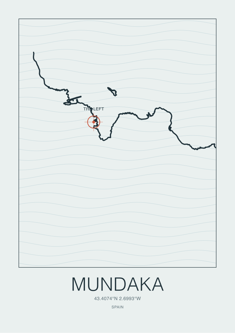 Mundaka
The print from this article · from €29.95
View the print →
Mundaka
The print from this article · from €29.95
View the print →
Winter 2006: The Sand Returns, and So Does the Left
Rivers, given time, restore what they have been carrying. The Oka continued to deliver sand from its catchment. Winter storms, dragging outer bar material into the estuary mouth, contributed from the seaward side. By the winter of 2006, observers on the seawall were reporting that certain swells were beginning to break with something close to their old geometry. By the winter of 2007, the wave had returned in a form recognisable to those who had ridden it before 2003.
The recovery was neither instantaneous nor guaranteed. What returned was not identical to what had been lost. Sandbars are not shapes; they are running averages of every storm and every tide over some period of memory. The 2006 bar was a new bar built by the same processes that had built the 1984 bar, and while the wave it produced was again a long, peeling left at the rivermouth, the exact angles of takeoff and the exact tide windows shifted from what regulars remembered.
The lesson, drawn slowly across those three seasons, was mechanical rather than sentimental. The Mundaka wave is not resilient because it is famous. It is resilient because the Oka catchment continues to produce sediment and the Cantabrian shelf continues to organise swell. Interrupt either of those, and no amount of memory or affection would restore what the estuary had made. Coasts are not stable landscapes with wave features on top; they are wave-and-sediment systems that happen to look stable at human timescales.
June 2008: The Estuary Becomes a Biosphere Reserve
The Urdaibai estuary — the broader landform of which the Mundaka rivermouth is the seaward corner — sits inside a designated UNESCO Biosphere Reserve, a status the region has held since the mid-1980s. What the years around 2008 brought was not the initial designation but a maturation of the management framework: revised zoning, tighter oversight of activities affecting the estuary's sediment budget, and a more explicit acknowledgement, in policy documents, of the relationship between upstream land use and downstream coastal form.
For a rivermouth wave, this kind of protection is not incidental. Biosphere Reserve status does not stop dredging by decree, and it does not guarantee that a sandbar will hold its shape from one decade to the next. What it does is establish that the estuary is a system with intrinsic value, and that decisions affecting one part of the system — a shipping channel, a marsh, a river bend, a tidal flat — are decisions affecting the whole. The wave becomes, in the language of environmental planning, one of the outputs of a landscape that has been recognised as worth managing carefully.
We are cautious about framing conservation policy as the guardian of a surf break. The estuary would deserve its protected status if no wave broke at its mouth. The birdlife alone — the waders, the wintering ducks, the passage migrants moving down the Atlantic flyway — would justify the designation. But it is honest to note that the same regulatory framework which protects the reed beds and the salt marshes also, in effect, protects the sediment corridor that keeps the sandbar in argument with the sea.
 San Sebastián
The print from this article · from €29.95
View the print →
San Sebastián
The print from this article · from €29.95
View the print →
Every Autumn Since: The Cantabrian Swell Meets the Oka
The Cantabrian Sea is a small window opening onto the North Atlantic. From September through March, low-pressure systems tracking east across the ocean generate long-period swells that arrive at the northern coast of Iberia with organisation and reach. At Mundaka, the swell approaches from the west and northwest, wraps around the outer coast of Cabo Matxitxako, and enters the estuary mouth already partially refracted by the offshore bathymetry of the Bay of Biscay.
The final shaping happens on the sandbar. A west-to-northwest swell meets the Oka's outflowing water and its deposited sediment at an angle that, when the tide is right, allows the wave to peel from the deeper channel toward the shallower inside. The peel is what makes the wave famous: a long, hollow left that holds its geometry for several hundred metres before losing energy on the inside sandbar. It works, when it works, because of a coincidence of angles that no coastal engineer could have designed on purpose. The village happens to sit where a small river's sediment output happens to align, seasonally, with the direction from which the region's dominant swell happens to arrive.
Autumn concentrates all of this. The first serious low-pressure systems of the season arrive on a coast whose sandbar has spent the summer settling, its geometry sharpened by the small residual chop of the warmer months. The estuary is at its most organised. The village fills, briefly, with people who have travelled to watch a landform work. Then winter proper arrives, storms rearrange the bar, and by March the sequence has begun to reset.
What It All Means: A Wave Is a Landform
The most useful thing to say about Mundaka is that it is not a wave. It is a landform that occasionally produces a wave. The distinction sounds pedantic and it is not. A wave, in the ordinary sense, is a passing shape in the water — energy moving through a medium, arriving and dissipating. A landform is a persistent arrangement of the earth's surface, produced by processes operating over long enough time to establish a pattern. The peeling left at the rivermouth is a landform's regular output, the same way a spring is a landform's regular output. Turn off the aquifer and the spring stops. Interrupt the sediment budget and the wave stops.
This reframing changes what it means to care about a place like Mundaka. It is not enough to care about the wave. One has to care about the river that feeds the estuary, the marshes that stabilise its margins, the outer bathymetry that refracts the swell, and the shipping decisions and land-use choices that could, on any given decade, alter any of these. The 2003 dredging is a case study in what happens when a system is treated as a foreground with a disposable background. The 2006 recovery is a case study in what happens when the background, given room, restores itself.
For those of us who draw coasts before we write about them, the Mundaka rivermouth is a favourite subject precisely because it insists on being read as geography. There is no other honest way to read it. Every attempt to explain the wave without the estuary produces a lyrical paragraph and a false picture. Every attempt to explain the estuary through the wave alone flattens a rich landform into a single output. Our own coast print of Mundaka, available at /shop/, draws the rivermouth at chart scale, with the estuary channel and the seaward bar rendered from the same coastline data that any honest reading of this place would begin with.
FAQ
What actually makes the wave at Mundaka break the way it does?
A sandbar at the mouth of the Oka river, shaped by the interaction of the river's outgoing sediment flow and the incoming Cantabrian swell. West and northwest swells wrap around the outer coast, refract on the offshore bathymetry, and peel across the bar from the deeper channel toward the shallower inside. Change any element of that system — sediment supply, tide window, swell direction — and the wave changes with it.
Why did the wave disappear in the mid-2000s?
Dredging in the Urdaibai estuary in 2003, undertaken for shipping-channel maintenance, removed sediment at a scale that altered the sandbar's geometry. Within a season the bar flattened and the wave stopped breaking with its characteristic peeling shape. The scheduled 2005 World Championship Tour event was cancelled because the rivermouth had not produced a rideable wave that autumn.
How did the sandbar recover?
Slowly, and by ordinary geomorphic processes. The Oka continued delivering sediment from its catchment, winter storms contributed material from the seaward side, and by the winter of 2006 observers were reporting a recognisable wave again. The recovery underscored something important: the sandbar is not a fixed feature but a running average of every storm, tide, and river input over some period of memory.
Is Mundaka the same as Urdaibai?
No, though the names are often used loosely. Mundaka is the village at the seaward corner of a larger estuary called Urdaibai, which is the entire drowned river valley of the Oka, including its marshes, reed beds, and tidal flats. The Mundaka wave is a feature of the estuary mouth. Urdaibai is the whole landform, and it has held UNESCO Biosphere Reserve status since the mid-1980s.
When does the wave typically work?
Autumn through early winter, when North Atlantic low-pressure systems generate long-period swell from the west and northwest. The bar tends to be at its most organised in September and October, before winter storms rearrange it. Working conditions also require a favourable tide window; the wave does not simply break whenever a swell arrives, which is part of why it is so selective and so watched.
Does UNESCO Biosphere status protect the wave?
Not directly. The designation protects the estuary as an ecological system — birdlife, marshes, tidal flats — and the management framework has matured over the decades since the initial 1980s designation. Because the wave depends on the same sediment corridor that the reserve safeguards, protecting the estuary as a whole tends, in practice, to protect the conditions the sandbar needs. The wave benefits by being part of a landform that is worth managing carefully.
Why compare Mundaka to a rivermouth story rather than a surf break?
Because reading it as a surf break flattens the geography. A surf break, in the shorthand, is a location on a coast. A rivermouth story is a coast reading itself: a catchment feeding sediment, an estuary organising that sediment, a tidal system distributing it, and an offshore bathymetry directing swell onto the result. The wave is what all of that produces when the arguments align. That framing makes clear what is fragile about the place and what is durable.
Are there other rivermouth waves shaped by similar processes?
Yes, though few with Mundaka's precise geometry. Rivermouth waves exist wherever a sediment-carrying river meets a coast that receives long-period swell at a workable angle — parts of southwest France, sections of the North Sea's German islands, certain Atlantic points in southern Portugal. Each is its own argument between river and sea, and each produces a distinctly different wave. That is why our studio draws them individually rather than treating them as variations of a single template.



New breaks and 10% off your first print.
One email now with your code. No noise after.