There is a pattern we keep seeing in writing about Lofoten. The archipelago gets framed as a stunt — surfing above the Arctic Circle, at 68.268°N, in Norwegian water — and the coastline itself, the actual reason waves break at Unstad and not two kilometres east, disappears under the temperature story. Our grounding record for Lofoten is spare on purpose: one named break, one coordinate pair, one coastline traced from OpenStreetMap's natural=coastline layer under ODbL. That spareness is the point. Strip the wetsuit anecdotes away and what remains is a geography question, which is the only question worth asking.
The Pattern: Every Time Someone Frames Lofoten as Arctic Novelty
Read the last decade of features on this coast and the shape of the writing is almost always the same. The lede is the latitude. The photograph is a figure in a black hood against a slate sea. The middle paragraphs are about how cold the water is, how the light behaves in winter, how strange it feels to paddle out with snow on the beach. The place becomes a temperature. The place becomes a dare.
That framing is not wrong so much as it is thin. It answers a question no cartographer would think to ask. If the story of Lofoten were only that surfing happens in cold water, then the story would apply equally to every metre of shore between the Norwegian mainland and the Barents Sea — roughly two thousand kilometres of coast, most of which does not, in fact, hold a rideable wave. The novelty frame flattens the specificity of one small crescent of beach into a headline, and then it asks the reader to be impressed by the wetsuit.
The pattern hides the real anomaly. Unstad is not remarkable because it is cold. Unstad is remarkable because a piece of coastline, on a set of islands whose long axis runs roughly southwest to northeast, happens to open a bay that faces open ocean at exactly the angle a North Atlantic swell needs to arrive. Everything else — the temperature, the light, the drive from Leknes — is a consequence of where that geometry sits on the globe, not a cause of the wave. The cause is the shape. The novelty writing gets the causation backwards, and once you notice it, you cannot un-notice it. Every temperature lede is a cartographic oversight.
The Shape Beneath Unstad: Why This Coastline Holds a Wave
Look at Lofoten on a properly zoomed chart and the archipelago reads as a wall. The main islands — Austvågøya, Vestvågøya, Flakstadøya, Moskenesøya — stack from northeast to southwest across a stretch of Norwegian Sea, and their western edge is a near-continuous rampart of granite and gneiss cliff falling straight into deep water. That wall is why most of Lofoten has no surf. Deep water hitting vertical rock does not break. It reflects, it climbs, it slaps, but it does not build the long shoaling ramp a rideable wave needs. The coastline chart, read honestly, mostly says no.
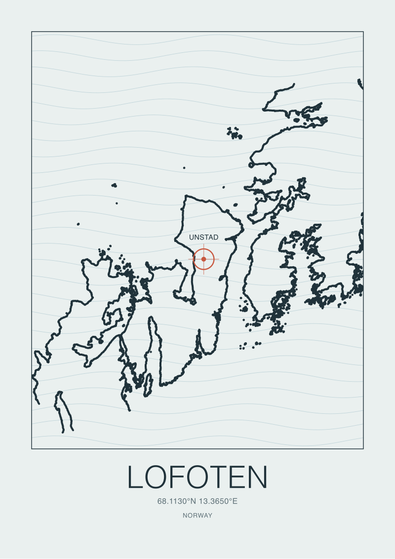
Unstad is where the wall opens. On the northwest coast of Vestvågøya, a small horseshoe bay cuts inland behind a beach roughly a kilometre wide, sheltered on either side by headlands that step out into the sea. The coordinate we hold — 68.268 north, 13.581 east — sits inside that horseshoe. The break exists because three separate geometries agree in the same place. The bay opens to the northwest, which is the exposure angle the dominant North Atlantic swell arrives from. The seafloor inside the bay shoals gradually rather than dropping off, which lets a swell trip and stand up rather than reflecting off a cliff. And the flanking headlands act as filters, wrapping and cleaning the swell before it lands, which is why the wave has the ordered shape it does instead of the raw chop the outer coast delivers.
None of that is folklore. It is standard shoaling and refraction physics applied to a specific bay, and the bay is drawn, meter by meter, in the OpenStreetMap coastline data our studio pulls from. When we make a print of Unstad, we are not drawing a wave. We are drawing the reason a wave exists here — the concave arc of the shore, the two small capes to either side, the way the contours narrow as they approach land. The wave is a downstream effect of a line on a map, and the line is the primary object.
There is a smaller cove immediately south of the main beach, sometimes distinguished in local usage from Unstad proper, that shares the same exposure but a tighter geometry. It illustrates the same principle at a different scale. Move two kilometres in either direction along this coast and the geometry changes: the bay closes, or the headlands rotate, or the seafloor drops away, and the wave disappears. There is no gradient. It is on or off. Cartography is a discipline of edges, and Unstad is the edge case.
A coastline does not decide to hold a wave. A coastline is a shape, and either the shape agrees with the ocean or it does not.
 Lofoten
The print from this article · from €29.95
View the print →
Lofoten
The print from this article · from €29.95
View the print →
The Latitude Distraction: What 68°N Actually Changes (and Doesn't)
Latitude changes the room the wave enters. It does not change the wave. That distinction is the whole argument.
At 68.268 north, the atmospheric envelope around this coast has properties that a Portuguese or French shore does not. In late June, the sun does not set for several weeks; in late December, it does not rise. The sea surface temperature in the bay tracks somewhere in the mid single digits Celsius through most of the year, softened marginally by the North Atlantic Drift, which carries warmer water up the Norwegian coast and is the reason these islands are ice-free in winter at a latitude where, say, the Canadian Arctic archipelago is not. Snow reaches the beach for parts of the year. The light, whether extended or absent, is unmistakable. These conditions are real and they shape the experience of standing on that sand. They do not shape the wave.
The wave is a physics problem in the water column, and the water column at 68 north obeys the same equations as the water column at 43 north. Swell is generated by wind blowing over open water for a sustained fetch, propagates in packets across ocean basins, and dissipates by shoaling and refraction when it meets a rising seafloor near shore. Change the latitude and you change none of those steps. What you change is which storm systems produce the fetch. In the Norwegian Sea, low-pressure systems tracking off Iceland and toward the Barents throw swell south and east into the outer wall of Lofoten with regularity through the autumn and winter. The energy arriving at Unstad comes from those storms. It could arrive at any latitude that sits in that storm track and offers the right coastal shape.
This is why the novelty frame collapses under any scrutiny. If latitude were the story, then every high-latitude coast with the right exposure would surf and every low-latitude coast without exposure would not, which is roughly what happens once you subtract the temperature commentary. Iceland surfs, in specific bays. Scotland surfs, in specific bays. The Faroe Islands hold documented breaks. The Aleutians have breaks that are almost never ridden but exist as geographic facts. What these coasts share is not their cold. It is their shape. They face the right ocean, they open the right bays, they shoal at the right angles. Latitude is a coincidence of habitability, not a cause of surf.
The one thing latitude does affect through the water is refraction geometry, because at very high latitudes swell can arrive from directions that lower-latitude coasts rarely see. But that is still a shape argument, not a temperature one. The map decides. The thermometer only decorates.
So What Do You Actually Do With a Map of Lofoten
You start by refusing the temperature lede. Not because cold water is uninteresting — it is — but because it is the wrong first fact. The first fact is the shape. Before you know what the water feels like on your hands, you should know why the water is doing what it is doing at exactly the point where you are standing. That means reading the coast as a chart before reading it as a place.
For Lofoten specifically, the reading goes like this. Pull the OpenStreetMap coastline for the archipelago and look at where the western wall breaks. There are only a handful of gaps in a hundred and fifty kilometres of outer coast. Unstad is the most complete of them, geometrically — the horseshoe is neat, the headlands step out cleanly, the seafloor rises at a manageable rate. Every other candidate bay has some part of the geometry wrong. That is why Unstad is the one name that surfaces in the record. It is not a subjective ranking. It is what happens when you rank bays by how well their shape agrees with a northwesterly swell.
Once you have read the shape, then and only then do you let in the second-order information. The Gulf Stream context. The winter light. The road from Leknes that arrives at the bay from behind. The fact that a small surf community has existed here since the early 1960s, when two Norwegian surfers made the connection between this coastline's exposure and a wave they had first seen elsewhere. These layers matter, but they are downstream of the geography. Reading them first is reading the story from the middle.
If you want to hold this coast in your hand rather than just read about it, that is where the studio's own work comes in. Our shop at /shop/ carries a print of the Lofoten coast drawn from the same OpenStreetMap data referenced here, at the scale where the Unstad horseshoe and the flanking headlands are readable as the geometry that produces the wave. It is a chart, not a poster. That is the whole point of the desk — to publish coasts as coasts.
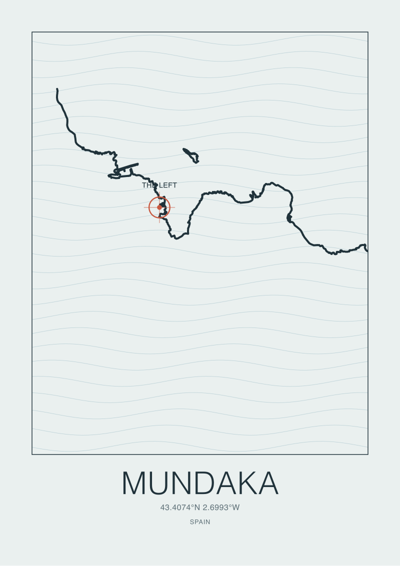
Beyond Lofoten, the method is portable. Any surf coast in Europe rewards the same reading order: shape first, latitude second, weather third, culture fourth. When we drew Nazaré, the underwater canyon came before the lighthouse. When we drew Mundaka, the estuary came before the wave. When we draw Lofoten, the horseshoe at Unstad comes before the wetsuit. The pattern in the writing on this archipelago will keep leading with the cold, because cold is easy to describe and shape is not. That is the opening the cartographic frame keeps giving us. The question after this piece is not what Lofoten feels like. The question is which other coasts have been mis-told the same way, and what their maps look like once you draw them honestly.
 Mundaka
The print from this article · from €29.95
View the print →
Mundaka
The print from this article · from €29.95
View the print →



New breaks and 10% off your first print.
One email now with your code. No noise after.