Four coastlines. Four shore orientations. One recurring question in the inbox: what swell direction is "best" for surfing. The honest answer is that "best" is a function of the shoreline the swell is hitting, and the shoreline is a measurable object. We pulled coastline polylines from OpenStreetMap's natural=coastline layer via Overpass (ODbL) for Biarritz (43.4853, -1.5584), Ericeira (38.9885, -9.4197), Fuerteventura's El Cotillo (28.6745, -14.0125), and Hossegor (43.6713, -1.4420), then asked a single question of each: at the exact spot latitude and longitude, which way is the beach actually looking.
Methodology: How We Read a Coast for Its Preferred Swell Angle
The procedure is less exotic than the question suggests. For each of the four spots we took the published latitude and longitude of the break, then queried the OpenStreetMap `natural=coastline` layer through Overpass within a two-kilometre buffer. The coastline arrives as an ordered polyline — a chain of vertices tracing the land-sea boundary. We isolated the vertex pair closest to the spot coordinate and computed the local tangent, then rotated ninety degrees seaward to get what cartographers call the shore normal: the compass bearing a wave would travel if it hit the beach dead-on.
That bearing is the first number we care about. The second is the arc of swell directions the shoreline will physically accept, which we take as roughly ±45° of the shore normal before refraction starts bending the wave so hard it loses energy. Anything outside that window is a wave arriving at a glancing angle, which is why marketing photos of "perfect swells" so often disagree with the forecast window.
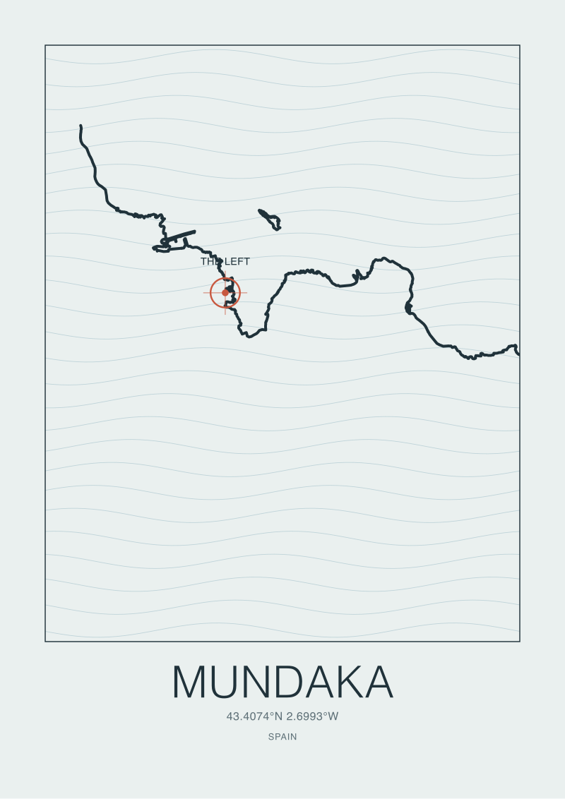
Limitations are blunt. We measure where the beach looks, not what the seafloor does. Bathymetry — the canyon off Nazaré, the reef at Mundaka, the sandbar trenches at Hossegor — refracts and focuses swell in ways no shoreline bearing can predict. OSM coastline accuracy varies by contributor; in the Canaries the polylines are tight, around Hossegor the dune line has moved since the last trace. We are reading orientation, not forecasting surf.
Finding #1: Biarritz Faces West-Northwest, and the Grande Plage Geometry Explains Why
At 43.4853° N, -1.5584° E, the Grande Plage sits inside the inner curve of the Bay of Biscay where the coast of France begins to pivot from a long north-south Atlantic wall into the arc that will eventually tuck into the Spanish Basque country. The shore tangent at the Grande Plage runs roughly southwest-to-northeast. Rotated seaward, the shore normal points at approximately 300° — west-northwest.
That single bearing tells you more about Biarritz's reputation than any number of travel guides. The dominant North Atlantic swell generator — the storm track that pulls low-pressure systems east across Iceland and the Shetlands — delivers swell on bearings between roughly 280° and 320°. Biarritz is pointed directly into that corridor. The Grande Plage is not a west-facing beach the way the Portuguese coast is a west-facing coast; it is a beach that has swung northward just enough to catch the dominant swell squarely rather than at an angle.
The ±45° acceptance window implied by the shore normal gives Biarritz an effective swell arc from roughly 255° (west-southwest) to 345° (north-northwest). The west-southwest end of that arc is the French summer swell — smaller, longer-period pulses from the mid-Atlantic. The north-northwest end is autumn and winter, when Icelandic lows fire west-northwest swell down the coast and the Grande Plage is working at the top of its design envelope. The "best" direction is not a point. It is this arc, and it is wider than most listings suggest.
What the shoreline cannot tell you is why the sandbars matter so much. The headland at Pointe Saint-Martin cuts the north end of the beach and bends incoming west-northwest swell as it wraps, which is why the north end of the Grande Plage often holds shape when the south end has already closed out. That is a bathymetry story. The compass bearing only sets the stage.
 Biarritz
The print from this article · from €29.95
View the print →
Biarritz
The print from this article · from €29.95
View the print →
Finding #2: Ericeira's Ribeira d'Ilhas Is a Northwest Coast Pretending to Be a Point
Ericeira sits on Portugal's Estremadura coast at 38.9885° N, -9.4197° E, with Ribeira d'Ilhas tucked into the broader World Surfing Reserve designated in 2011. The coastline here is not a simple north-south wall. It is a stepped sequence of small headlands and bays, and Ribeira d'Ilhas is one of the headland-protected pockets.
The shore tangent in the immediate buffer around the spot runs north-northeast to south-southwest. The shore normal — the direction the beach looks — points roughly 285°, west with a mild northward tilt. In isolation, that reads like a classic exposed Portuguese west coast. In practice, Ribeira d'Ilhas behaves more like a long right-hand point, because the small headland immediately to its north shadows the beach from the deepest northwest swells and forces the wave to wrap. A northwest swell at 310° or 315° does not hit the beach at a 25°-off angle and die; it wraps around the headland and lines up along the reef, converting what would be a glancing blow into a mechanical, long-walled right.
That wrap-around is why the "preferred" window for Ribeira d'Ilhas sits narrower than the raw bearing suggests. The spot wants swell from roughly 290° to 320° — a 30° arc — because inside that corridor the headland does useful work. Outside it, either you lose the wrap (swells too southerly, nothing to refract against) or you lose the shelter (swells too northerly, the headland becomes an obstacle and the inside closes out).
The reserve designation protects what the compass bearing cannot: the headland itself, the stretch of undeveloped coast behind it, the sightlines. Geography is the product being protected. Vibe is the by-product. The number — 285° shore normal, 290-320° effective arc — holds whether or not anyone surfs the place.
Finding #3: Fuerteventura's El Cotillo Breaks on the Only Swell the Canaries Reliably Produce
El Cotillo sits on the northwest flank of Fuerteventura at 28.6745° N, -14.0125° E. The coast here faces hard west. The shore tangent runs almost precisely north-south, so the shore normal points to 270° — due west — with maybe a degree or two of northward lean depending on which segment of beach you anchor on.
Due west is not a neutral direction in the North Atlantic. It is the opposite of neutral. The Canaries sit at latitude 28°, well south of the main North Atlantic storm track that services the European mainland. Most of the swell energy generated by Icelandic and Greenland lows loses amplitude by the time it has travelled the two thousand kilometres south to the archipelago, and arrives from bearings between roughly 300° and 340° — all above El Cotillo's shore normal. The spot catches the tail of these systems, not the head.
What El Cotillo does catch cleanly is the lower-latitude west swell generated by lows that track further south — into the mid-Atlantic rather than up around Iceland. These are the systems the Canaries live on. Their swell bearings sit between 265° and 285°, which drops them squarely inside El Cotillo's ±45° acceptance arc of 225° to 315°. The beach is tuned, structurally, to a swell window that most of the European mainland does not share.
This is why the Canaries are often described as a counter-season destination for European surfers. The language sounds commercial but the geometry is literal: El Cotillo's shore normal is pointing at a different storm generator than Biarritz's shore normal. The two beaches work different inputs. "Best swell direction" for one is marginal for the other, and the difference is a measurable 30 degrees of coastline rotation.
 Hossegor
The print from this article · from €29.95
View the print →
Hossegor
The print from this article · from €29.95
View the print →
Finding #4: Hossegor's La Gravière Prefers a Narrower Window Than the Marketing Suggests
Hossegor sits twenty kilometres north of Biarritz at 43.6713° N, -1.4420° E, on a stretch of coast that is substantially straighter than the Basque arc below it. The shore tangent along La Gravière runs almost exactly north-south, giving a shore normal of around 275° — effectively due west with a one-to-two degree southward tilt.
That tilt matters. Biarritz is pointed west-northwest at 300°; Hossegor is pointed west at 275°. The 25° difference means the two beaches, despite sitting on the same coast less than half an hour apart by road, prefer slightly different swell corridors. Biarritz works a west-northwest storm optimally. Hossegor works a west or west-southwest swell optimally, and gets glancing-angle versions of the deep northwest systems that service Biarritz cleanly.
The ±45° acceptance window puts La Gravière's effective arc at roughly 230° to 320°. The marketing framing — the "best beach break in Europe" — suggests omnivorous appetite. The geometry suggests something narrower. La Gravière's famous barrels come from the trench system offshore: a submarine canyon system (the Capbreton canyon complex) that focuses incoming swell energy on specific sandbars in specific ways. That bathymetric focusing is swell-direction-sensitive. A west swell at 270° hits the trenches at the angle they are oriented to amplify. A northwest swell at 315°, inside the arc but at the far edge of it, hits them obliquely and loses some of the amplification.
The practical consequence: Hossegor is not a wider-aperture Biarritz. It is a narrower-aperture Biarritz, tuned to a west swell corridor the trenches know how to work with. The pine forest behind the dunes is unrelated to the wave mechanics but worth noting for a different reason — it has preserved the sand-dune system that keeps feeding the beach, and the trenches, with the sediment they depend on.
What This Does NOT Prove
A shore normal is one number. It tells you where the beach is looking. It does not tell you how the seafloor behaves, which is where almost all of the interesting physics of surf actually happens. Nazaré's canyon, Mundaka's river bar, Hossegor's trench system, Ericeira's reef shelves — these are bathymetric features that bend, focus and amplify swell in ways a coastline bearing cannot predict. A spot can have an unpromising shore normal and still produce world-class waves because its seafloor does the work. The reverse is also true: a well-oriented beach with a featureless bottom will produce featureless surf.
This audit also does not address local wind, tide state, swell period, or sand movement — the four variables that convert "a swell of the right direction" into "a surfable wave on a given morning". Direction is a necessary condition. It is nowhere close to a sufficient one. If this piece reads as an argument that the best swell direction can be read off a map alone, we have been unclear. The map tells you which swells can even reach the beach. Everything after that is the ocean.
The Takeaway
"Best swell direction" is a shoreline question before it is an ocean question. The four coasts here want four different things, and the compass bearings explain why without inventing anything the water does not already know.
FAQ
What exactly is a "shore normal" and why does it matter for surf?
A shore normal is the compass bearing perpendicular to the coastline at a given point — the direction a wave would travel if it struck the beach head-on. It matters because swells arriving within roughly 45° of that bearing deliver most of their energy to the shore, while swells arriving at steeper angles refract and lose amplitude. For any beach break the shore normal is the single number that sets the stage; everything downstream, from sandbar response to barrel shape, is a modification of what that bearing allows through in the first place.
Does this audit mean Biarritz and Hossegor want the same swells?
No, and that is the point. Biarritz's shore normal sits around 300° — west-northwest — because the coast has already begun curving into the Basque arc. Hossegor's sits around 275° — effectively due west — because the coast north of Capbreton runs much straighter. The two beaches are twenty-odd kilometres apart but they are tuned to swell corridors 25° apart. A storm that fires west-northwest optimally into Biarritz hits Hossegor at a glancing angle, and vice versa for a straight west swell.
Why does El Cotillo work when mainland European beaches have gone flat?
Because El Cotillo faces due west and sits at latitude 28°, far south of the main North Atlantic storm track. The swells that service Biarritz, Hossegor and Ericeira are generated by lows tracking across Iceland and the Shetlands. The swells that service El Cotillo are generated by lower-latitude mid-Atlantic systems whose bearings — around 265° to 285° — sit inside El Cotillo's acceptance arc. The two storm generators are not the same, which is why the Canaries work in different windows than the mainland.
Is Ericeira's reserve status just marketing or does it actually protect the geometry?
It protects the geometry. The World Surfing Reserve designation granted in 2011 covers the stretch of coast around Ribeira d'Ilhas and its neighbouring breaks, which means the headlands, the undeveloped shore and the sightlines above the beach are legally shielded from the kind of coastal development that would otherwise erode them. The compass bearing stays the same whether anyone surfs the place; what the reserve preserves is the physical headland that converts a northwest swell into a wrapping right-hand line.
Can a shore normal predict wave quality on a given day?
It cannot, and treating it as a predictor is the mistake this piece is written against. The shore normal tells you which swells the beach can even accept. Wave quality on a specific morning depends on swell period, tide state, local wind direction, sand movement and bathymetric focusing — none of which are visible in a coastline polyline. Direction is a necessary condition, not a sufficient one. The map answers "which swells reach this beach"; it does not answer "which mornings are worth paddling out".
Why did we not include Nazaré, Mundaka or the Portuguese south coast?
Scope. This audit measures shore normals from the OpenStreetMap coastline layer at four specific spot coordinates provided in the grounding dataset. Nazaré is a bathymetric story — a canyon pointing swell energy at the lighthouse — that cannot be told by shoreline bearing alone and deserves its own piece. Mundaka is a river-bar story. The Portuguese south coast is a different-aspect coast facing roughly south, which puts it in a different swell corridor again. Each of those three is a separate audit with its own geometry.
How accurate is the OpenStreetMap coastline data for this kind of analysis?
It is accurate enough to read shore orientation at the ±5° level, which is what this audit uses it for. OSM's `natural=coastline` layer is contributor-maintained and licensed under ODbL. The polylines are tight in the Canaries, where high-resolution satellite tracing is routine, and slightly looser along the French Landes coast where the dune line has shifted since the last update. For bearing-level reading at a 2 km buffer the data is fit-for-purpose. For sub-metre coastal engineering it is not, and nobody should be using it that way.


New breaks and 10% off your first print.
One email now with your code. No noise after.