The Atlantic is not a better ocean than the Mediterranean. Hear me out. It is a differently shaped one, and the difference is geometry, not virtue. When we drew both coastlines side by side last winter — Ericeira and Hossegor and Fuerteventura against every promising cove from Catalonia to the Adriatic — the reason one produces La Gravière and the other produces flat sand resolved into three measurable things: fetch, shelf angle, and the direction the coast happens to face. What follows is those three questions, asked in the order a cartographer would ask them, before any board touches water.
Question 1: Does the Water in Front of the Coast Have Room to Run?
Fetch is the distance a wind blows uninterrupted over open water. It is the first thing we sketch when we lay down a new coast, because every wave that eventually arrives at a shore is a receipt for wind that had somewhere to go. A wave is not a lump of water travelling; it is energy propagating through water, and that energy needs kilometres of open sea to organise itself from short, chaotic wind chop into the long, spaced swells that break cleanly on a beach. The question, then, is whether the basin in front of the coast gives the wind that room. This is not an opinion. It is a straight-line measurement any reader can pull off a chart.
If Yes
If the coast opens onto an ocean basin — meaning thousands of kilometres of uninterrupted water — the answer is Atlantic. From Ericeira at 38.99°N, -9.42°E, the horizon reaches Newfoundland with nothing in between. From Hossegor at 43.67°N, -1.44°E, the fetch runs unbroken into the North Atlantic storm track. From Fuerteventura at 28.67°N, -14.01°E, the same track curls south and delivers swell to the Canaries from generating systems that were born days earlier off Greenland. Under this geometry, wind events far offshore become long-period groundswell — the kind with 12 to 18 seconds between crests, the kind that has forgotten the wind that made it and simply arrives. This is the raw material without which no reef, no sandbar, no cape becomes a surf spot. If your coast has this, question one is answered, and you can move to shelf.
If No
If the coast opens onto a semi-enclosed sea, the fetch runs into land before it can build. The Mediterranean is the case study. Its longest usable fetch — Gulf of Lion to the Balearics, roughly, or the length of the Ionian — measures in hundreds of kilometres, not thousands. Waves generated there are windsea, not groundswell: shorter periods, closer together, disorganised, dying almost as fast as they form. There are surfable days on Mediterranean coasts. There are not surfable geographies in the way the word means on the Atlantic. This is not a criticism of the Mediterranean; it is the same reason its coasts grow olive terraces down to the water while Atlantic coasts grow dune systems and pine forests set back a kilometre. Different basin, different rules, different landscape.
Question 2: Does the Seafloor Rise Fast Enough to Break What Arrives?
Assume the fetch has done its job and long-period swell reaches the coast. Nothing about that swell breaks on its own. Water needs to shoal — the depth needs to shallow enough that the wave's orbital motion drags against the bottom, slows, steepens, and finally tips forward as a breaking wave. The angle at which the seafloor rises from deep water to the shore is called the shelf gradient, and it decides not only whether a wave breaks but how it breaks. A slow, gentle shelf gives crumbling, uninteresting shore-break; a steep, sudden shelf gives hollow, powerful waves that stand up and pitch. The chart tells you which one your coast has before you get near the sand.
If Yes
If the shelf rises fast — meaning deep water sits close inshore, and the transition from twenty metres to two metres happens in a few hundred metres of horizontal distance — the coast breaks with the kind of energy the Atlantic is famous for. Hossegor is the canonical case: the Gouf de Capbreton, a submarine canyon that reaches nearly to the beach, feeds unspent swell energy into La Gravière and creates the compressed, pitching waves the French southwest coast is known for. Ericeira's Ribeira d'Ilhas benefits from a rock-shelf geometry that focuses swell onto a defined take-off zone. Fuerteventura's El Cotillo sits where volcanic reef and Atlantic fetch meet at a shelf angle steep enough to preserve swell energy through the break. In each case the fast shelf converts what arrived into what fires. If your coast has both fetch and gradient, question two is answered.
If No
If the shelf rises slowly — a wide, flat continental margin — even long-period Atlantic swell arrives tired. The wave crosses so much shallow water on its way in that friction bleeds off its energy before the break. Parts of the southern North Sea coast have this problem despite technically facing open water; parts of the Bay of Biscay's inner curve share it. The Mediterranean coasts add insult to injury: not only is there no long-period swell arriving, the shelf profile in most of the western basin is gentle, so what little windsea reaches shore breaks softly and briefly. A steep shelf without fetch produces occasional waves. A gentle shelf without fetch produces the coast where you swim, not the coast where you surf. Neither combination writes a surf town into being.
 Hossegor
The print from this article · from €29.95
View the print →
Hossegor
The print from this article · from €29.95
View the print →
Question 3: Is the Coast Facing the Weather That Actually Exists?
Fetch and gradient give you the possibility of surf. Aspect — the compass direction the coast faces — decides whether that possibility becomes fact. Swell in the North Atlantic comes overwhelmingly from the west and northwest, generated by low-pressure systems that track eastward off the American seaboard and mature over open ocean. A coast that faces west or northwest catches those swells head-on. A coast that faces south, or that sits tucked into a bay, sees the same swells refract, weaken, and arrive as a fraction of their offshore height. This is the reason two coasts a hundred kilometres apart, with identical shelf and identical latitude, can be one of them world-class and the other one dead flat. The map answers this before the forecast does.
If Yes
If the coast faces the prevailing swell window — west to northwest across most of European Atlantic — it receives what the ocean sends. Hossegor's aspect points almost due west; Ericeira's cliffs face slightly north of west; Fuerteventura's west-coast reefs including El Cotillo look straight into the North Atlantic corridor. Even the Biarritz coast a hundred kilometres south of Hossegor at 43.49°N, -1.56°E benefits from an aspect that opens to the same window, which is part of the reason the town became the European origin point of the sport in the 1950s. A coast that catches the weather that actually exists becomes a surf coast. This is not luck. It is the collision of a basin's storm climatology with a shoreline's orientation, and you can read it off a chart in an afternoon.
If No
If the coast faces the wrong way, none of the previous answers matter. Much of the Mediterranean fails here twice over: its aspect does not correspond to any oceanic swell window because it is not connected to one, and its own internal wind-swell events are so directionally scattered that no shore consistently receives them. Parts of the Balearic north coast catch mistral windsea; parts of the Ligurian coast catch tramontana events; but none of it stacks the way an Atlantic corridor does. On the Atlantic side, aspect failures exist too — deeply recessed bays, coasts oriented to the north on a westerly swell diet — and these are the coasts that stay quiet while the reefs twenty kilometres up the shore are firing. Aspect is the third gate. Fail it and the rest is theory.
If You Answered Everything: The Coast Your Basin Allows
Three questions, two possible answers each, eight combinations. The table below reads left to right: Q1 is fetch, Q2 is shelf, Q3 is aspect. The recommendation column names the kind of coast the combination produces, using places from the grounding record where the fit is exact.
| Q1: Fetch | Q2: Shelf | Q3: Aspect | Recommendation |
|---|---|---|---|
| Yes | Yes | Yes | The full geometry — Hossegor, Ericeira, El Cotillo — long-period swell meets steep shelf meets a west-facing coast. |
| Yes | Yes | No | Ocean energy arrives and steepens but misses the shore; surfable only on rare swell angles that refract in. |
| Yes | No | Yes | Groundswell arrives but crosses too much shallow shelf to break with force; gentle rollers, not real surf. |
| Yes | No | No | Ocean-facing coast that still fails; the map explains why the reader was hoping wrongly. |
| No | Yes | Yes | Steep shelf and correct aspect, but no fetch to feed them — the Mediterranean's least disappointing coasts. |
| No | Yes | No | Steep shelf wasted on a basin that produces no swell in that direction — swim beaches, not surf beaches. |
| No | No | Yes | The Mediterranean's typical honest answer: a coast facing the right way, with nothing arriving. |
| No | No | No | A coast the map already told you was quiet; visit for the food. |
The three top rows are Atlantic country: Biarritz, Hossegor, Ericeira, Fuerteventura, and every coast that shares their basin geometry. The five rows below are what the Mediterranean, at its most generous, is capable of, and what most closed and semi-closed seas produce as their default state. None of this is a value judgement on the Mediterranean. It is a shape judgement. The Atlantic bends water into surf because it has the room, the floor, and the direction to do it. The Mediterranean has none of the three at scale, and the coast reflects that honestly — in its dunes, its cliffs, its towns, its trees. Which basin you were born next to is not a ranking. It is a different set of drawings on the same continent.
If you want to see the specific coastlines we mapped for this piece — Biarritz, Ericeira, Fuerteventura, Hossegor — as full-shore prints drawn from OpenStreetMap coastline data, they live in our /shop/. The maps are the argument, redrawn at hanging scale.
 Ericeira
The print from this article · from €29.95
View the print →
Ericeira
The print from this article · from €29.95
View the print →
FAQ
Why does the Mediterranean occasionally produce surfable waves if the fetch is so short?
Because windsea is real, just short-lived. A strong mistral in the Gulf of Lion, or a tramontana blowing down the Adriatic, can generate short-period wind chop that reaches the coast still standing. It breaks briefly and usually messily, with three to six second periods rather than the twelve to eighteen you get from Atlantic groundswell. It is surf in the technical sense. It is not surf coast in the geographic sense, which is why no Mediterranean shore has built the infrastructure, the culture, or the industry Atlantic coasts like Ericeira or Hossegor did.
What actually is fetch in numerical terms, and how much do you need?
Fetch is the uninterrupted overwater distance a wind blows in one direction. To generate the long-period groundswell that becomes classic surf, you need in the order of a thousand kilometres of fetch combined with sustained storm-force winds for at least twelve to twenty-four hours. The North Atlantic supplies this routinely because low-pressure systems track across four thousand kilometres of open water between Newfoundland and Europe. The entire Mediterranean is smaller than that single generating region, which is why the physics simply cannot produce the same output.
Why does Hossegor break so hard when Biarritz a hundred kilometres south is gentler?
Shelf geometry. The Gouf de Capbreton is a submarine canyon that reaches close inshore off Hossegor, meaning deep water sits directly against the beach. Swell arrives with almost no shoaling loss and pitches violently at La Gravière. Biarritz, further south, sits on a more conventional shelf profile where swell has more shallow water to cross before breaking. Same basin, same fetch, same aspect roughly — different seafloor. That is the whole answer. It is also why Biarritz became the sport's European birthplace in 1957: the wave was rideable in a way early boards could actually handle.
Does climate change alter any of this?
Not the geometry. Fetch, shelf, and aspect are geological and basin-scale features that operate on timescales far longer than any climate signal. What changes is the intensity and frequency of the storm systems that feed swell into an Atlantic-facing coast, and there is credible research suggesting North Atlantic storm tracks are shifting. This affects when and how much swell arrives, not whether a coast is structurally capable of receiving it. The maps stay valid. The seasonal calendars might not.
Is there any European Mediterranean coast that meaningfully surfs?
There are pockets — parts of the Balearic north shore under mistral events, parts of the Ligurian coast on tramontana days, some Sardinian coves on specific wind directions. These are real, and locals have built modest scenes around them. What none of them have is consistency, groundswell, or the shelf geometry to make the sport a place-defining fact rather than an occasional possibility. They are surfing on the Mediterranean, not Mediterranean surf coasts. The distinction matters when you are choosing where to move.
Why doesn't the Atlantic's northern reach — Norway, Scotland, Ireland — get talked about as much as France and Portugal?
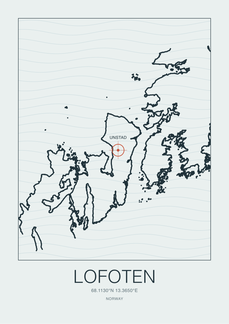
It does, in the specific circles that surf cold water. Coasts from Lofoten to the Outer Hebrides pass all three questions comfortably: North Atlantic fetch, glacially-carved shelf drops in many places, west-facing aspects. What they lack is population and mild weather, not geometry. Ericeira and Hossegor became famous partly because they combined surfable geometry with liveable coastal towns and, in Hossegor's case, a pine forest set back a kilometre that made the whole zone feel like a place, not just a break.
Where does Fuerteventura fit on this three-question map?
It passes all three, but by a slightly different route than mainland Europe. The Canary Islands sit far enough south that they receive North Atlantic swell that has travelled thousands of kilometres and refracted around the archipelago's own topography. Fuerteventura's west coast, including El Cotillo, faces the corridor directly. The shelf is a volcanic reef geometry rather than a sedimentary canyon like Hossegor's, but it does the same job: converts groundswell to break with authority. It is Atlantic geometry, delivered at a latitude where the water stays warm.
If I want to understand my own local coast, what should I actually do?
Pull a bathymetric chart of the shore in question. Trace the coastline aspect using any digital map. Look at the depth contours in the first two kilometres offshore — that is your shelf. Then find a wind and swell climatology for the basin your coast opens onto. You now have your three answers. The exercise takes an afternoon and tells you more about why your local waves behave the way they do than any forecast subscription. It is also, roughly, how we start every print in the studio.


New breaks and 10% off your first print.
One email now with your code. No noise after.